National Geographic Trails Illustrated Stanislaus National Forest Map Bundle — waterproof, tear-resistant, detailed topography, trails, OHV routes, campgrounds, and wilderness areas. For hikers, campers, and OHV riders in the central Sierra Nevada.
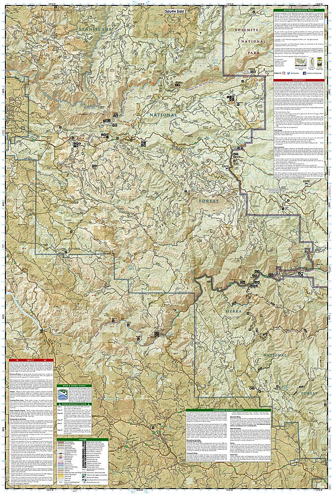
The National Geographic Stanislaus National Forest Map Bundle includes the Trails Illustrated maps covering the Stanislaus National Forest — the Emigrant Wilderness, Carson-Iceberg Wilderness, and surrounding forest lands west of Yosemite. Detailed topography, trail networks, OHV routes, campgrounds, and wilderness boundaries on waterproof, tear-resistant paper.
Key specs
- SKU: NGTIB300
- Coverage: Stanislaus National Forest, California (central Sierra Nevada)
- Material: Waterproof, tear-resistant paper
- Features: Detailed topography, trails, OHV routes, campgrounds, wilderness boundaries
- Format: Multi-map bundle
Why it works
The Stanislaus National Forest spans a large area of the central Sierra Nevada with a complex mix of wilderness areas, OHV zones, and developed recreation sites that require different maps for complete coverage. A bundle covering the full forest ensures you have the detail needed for both the Emigrant Wilderness backcountry and the lower-elevation OHV and camping areas. Waterproof construction survives the Sierra Nevada's afternoon thunderstorms and stream crossings.
Ideal for
Hikers, backpackers, campers, anglers, and OHV riders exploring the Stanislaus National Forest and its wilderness areas west of Yosemite.