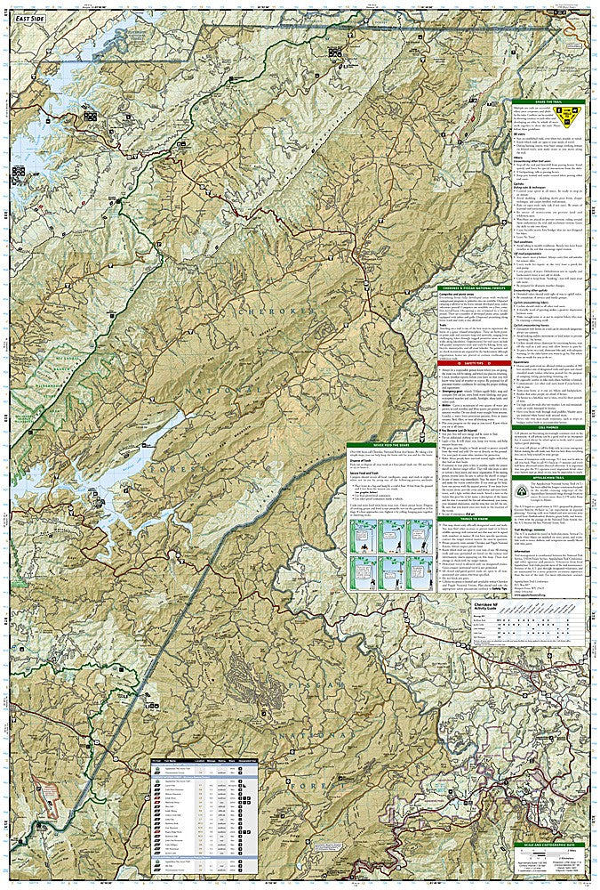
National Geographic Trails Illustrated Pisgah National Forest Map Bundle — waterproof, tear-resistant, detailed topography, trails, wilderness areas, and campgrounds. For hikers, backpackers, and mountain bikers in the North Carolina Blue Ridge.
The National Geographic Pisgah National Forest Map Bundle includes the Trails Illustrated maps covering the Pisgah National Forest — the Pisgah Ranger District, Grandfather Ranger District, and Appalachian Ranger District across the North Carolina Blue Ridge. Detailed topography, trail networks, wilderness areas, and campgrounds on waterproof, tear-resistant paper.
Pisgah National Forest's multiple ranger districts span a large area of the North Carolina Blue Ridge with a dense trail network that requires more than one map for complete coverage. The forest is one of the most popular outdoor recreation destinations in the Southeast, with trails ranging from easy waterfall walks to challenging backcountry routes in the Shining Rock and Middle Prong Wilderness areas. Waterproof construction survives the frequent rain and humidity common in the Southern Appalachians.
Ideal for
Hikers, backpackers, mountain bikers, and campers exploring Pisgah National Forest's trails, waterfalls, and wilderness areas in the North Carolina Blue Ridge.