National Geographic
New York Road Map & Travel Guide
New York Road Map & Travel Guide
Couldn't load pickup availability
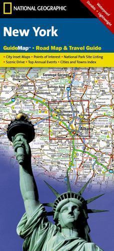
Waterproof, tear-resistant road map and travel guide for New York State — highways, scenic routes, Niagara Falls, Finger Lakes, and inset city maps. Scale 1:1,140,000.
The National Geographic New York Guide Map combines a detailed road map with a curated travel guide for the Empire State. Major highways, scenic byways, and secondary roads are clearly marked alongside hundreds of points of interest — national and state parks, campgrounds, visitor centers, airports, and ski areas. Inset maps cover Rochester, Syracuse, Utica, Binghamton, and Albany-Schenectady-Troy, with highlighted routes to NYC, Niagara Falls, and the Finger Lakes Scenic Drive.
Key specs
- SKU: NGGM042
- Scale: 1:1,140,000
- Folded size: 4" x 8.75"
- Flat size: 17.75" x 24.75"
- Material: Waterproof, tear-resistant synthetic paper
- Weight: ~1.3 oz
- Model: GM01020483
What's included:
- Full New York State road network with mileage markers and toll road designations
- Inset maps: Rochester, Syracuse, Utica, Binghamton, Albany-Schenectady-Troy
- Highlighted routes: NYC, Niagara Falls, Finger Lakes Scenic Drive
- Points of interest: national/state parks, campgrounds, airports, ski areas, visitor centers, hospitals
- Park service chart, climate data, and city/town index
Why it works
New York State spans an enormous range of terrain and destinations — from the Adirondacks and Catskills to the Finger Lakes, Niagara Falls, and Long Island — requiring a map that covers the full state with enough detail to navigate both rural backroads and urban connections. The inset city maps eliminate the need for a separate urban map for upstate cities. Waterproof synthetic paper survives the rain and snow common across New York's varied climate zones.
Ideal for
Road trippers and travelers exploring New York State's national parks, Niagara Falls, Finger Lakes, and Adirondacks.
Share