Benchmark Maps
Benchmark Map: Nebraska
Benchmark Map: Nebraska
Couldn't load pickup availability
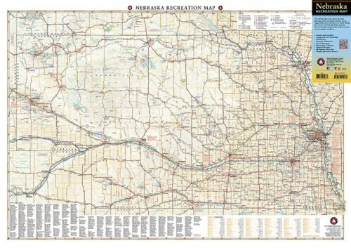
National Geographic Benchmark Nebraska Recreation Map — detailed road networks, campgrounds, public lands, wildlife areas, hunting units, boating and fishing access. Scale 1:696,960. Folded 8.8" x 4". ~4 oz.
The National Geographic Benchmark Nebraska Recreation Map provides the most accurate and comprehensive road and recreation mapping available for Nebraska. Detailed road networks including highways, backroads, and recreation access points, plus campgrounds, state parks, public lands, wildlife areas, hunting units, and boating and fishing access sites. Compact format for glovebox or pack.
Key specs
- SKU: NGBM020
- Publisher: National Geographic / Benchmark Maps
- Coverage: Full state of Nebraska
- Scale: 1:696,960
- Folded size: 8.8" x 4" x 0.3"
- Material: Standard paper
- Weight: ~4 oz
Why it works
Nebraska's public lands, wildlife areas, and hunting units span a large state with an extensive backroad network that standard road maps don't cover in sufficient detail. Benchmark's cartography includes the recreation-specific detail — campgrounds, fishing access, public land boundaries, and hunting units — that outdoor users need beyond basic road navigation.
Ideal for
Hunters, anglers, campers, hikers, and road trippers exploring Nebraska's public lands, state parks, wildlife areas, and backroads. See also NGBM012 (Kansas) for adjacent Great Plains coverage.
Share