National Geographic
Mount St. Helens, Mount Adams: Map #822
Mount St. Helens, Mount Adams: Map #822
Couldn't load pickup availability
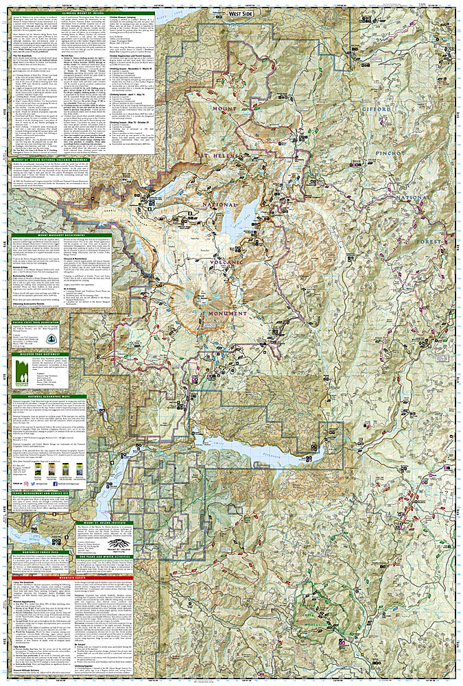
National Geographic Trails Illustrated Mount St. Helens & Mount Adams Map #822 — waterproof, tear-resistant. Coverage of Mount St. Helens National Volcanic Monument, Mount Adams Wilderness, and surrounding Gifford Pinchot National Forest in Washington. GPS-compatible.
The National Geographic Trails Illustrated Mount St. Helens & Mount Adams Map covers both Cascade volcanoes in southern Washington — Mount St. Helens National Volcanic Monument (blast zone, Ape Cave, Johnston Ridge), Mount Adams Wilderness, and surrounding Gifford Pinchot National Forest. Trails, climbing routes, volcanic features, wilderness boundaries, trailheads, and GPS coordinates are mapped in detail.
Key specs
- SKU: NGTI822
- Map number: 822
- Coverage: Mount St. Helens NVM & Mount Adams Wilderness, Washington
- Material: Waterproof, tear-resistant paper
- Features: Trails, St. Helens blast zone, Ape Cave, Mount Adams climbing routes, wilderness boundaries, GPS coordinates
Why it works
Mount St. Helens and Mount Adams offer completely different experiences — St. Helens' dramatic blast zone and lava tube (Ape Cave) attract geology and history visitors, while Mount Adams is a major mountaineering objective with glaciated routes requiring accurate approach mapping. A single map covering both volcanoes is practical for visitors exploring the Gifford Pinchot National Forest. Waterproof construction survives the Pacific Northwest's frequent rain and the glacier travel on Mount Adams.
Ideal for
Hikers, mountaineers, geology enthusiasts, and outdoor explorers visiting Mount St. Helens and Mount Adams in southern Washington. See also NGTI820 (Mount Hood National Forest) for adjacent coverage to the south in Oregon.
Share