National Geographic Trails Illustrated Jefferson National Forest Map Pack Bundle — waterproof, tear-resistant, detailed topography, Appalachian Trail, Virginia Creeper Trail, wilderness areas, and campgrounds. For hikers, bikers, and campers in Virginia's Blue Ridge.
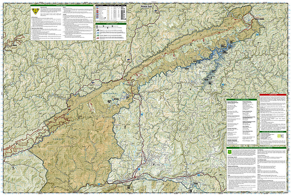
The National Geographic Jefferson National Forest Map Pack Bundle includes the Trails Illustrated maps covering the Jefferson National Forest — the Mount Rogers National Recreation Area, the Appalachian Trail corridor, the Virginia Creeper Trail, and surrounding forest lands in Virginia's Blue Ridge and Allegheny highlands. Detailed topography, trail networks, wilderness areas, and campgrounds on waterproof, tear-resistant paper.
Key specs
- SKU: NGTIB291
- Coverage: Jefferson National Forest, Virginia (Blue Ridge and Allegheny highlands)
- Material: Waterproof, tear-resistant paper
- Features: Appalachian Trail, Virginia Creeper Trail, wilderness areas, campgrounds, detailed topography
- Format: Multi-map bundle
Why it works
Jefferson National Forest spans a large area of Virginia's Blue Ridge and Allegheny highlands with the Appalachian Trail running its length — a bundle covering the full forest ensures complete coverage for AT section hikers and backpackers without gaps between maps. The Virginia Creeper Trail detail is essential for cyclists planning the popular rail-trail route. Waterproof construction survives the humidity and rain common in the Southern Appalachians year-round.
Ideal for
Hikers, AT section hikers, mountain bikers, and campers exploring Jefferson National Forest's trails, wilderness areas, and the Virginia Creeper Trail. See also NGGM070 (Virginia Road Map) for broader regional access.