National Geographic
Adventure Map: United Kingdom
Adventure Map: United Kingdom
Couldn't load pickup availability
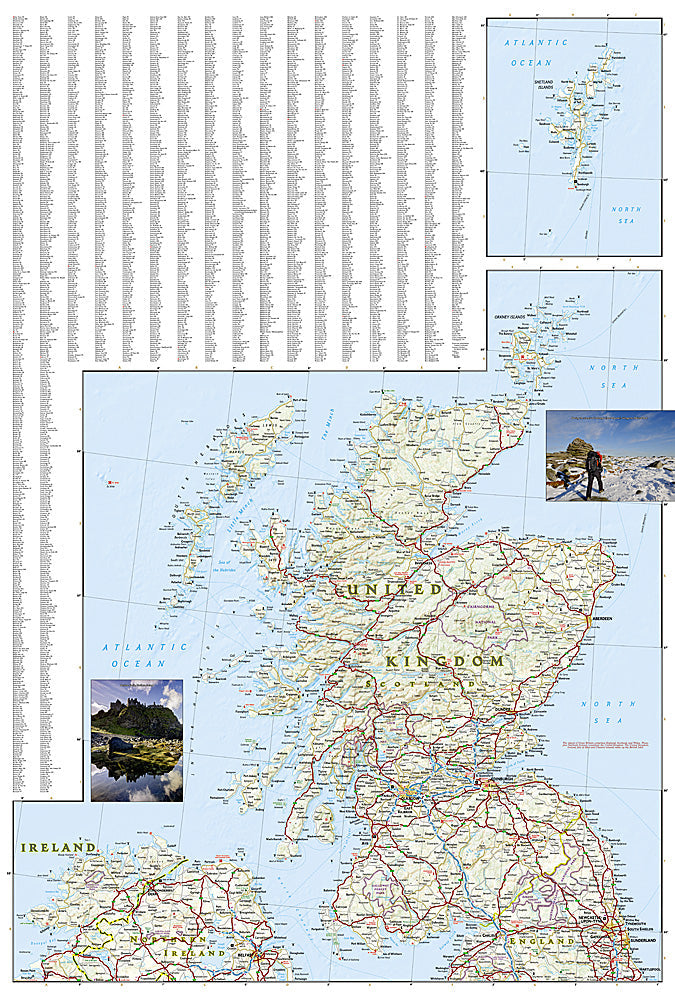
Waterproof, tear-resistant adventure map of the United Kingdom — topography, roads, trails, national parks, and points of interest.
The National Geographic Adventure Map of the United Kingdom (3325) covers England, Scotland, Wales, and Northern Ireland with accurate topography, road networks, national parks, long-distance walking routes, and points of interest. Printed on waterproof, tear-resistant synthetic paper.
Key specs:
- SKU: NGAM3325
- Material: Waterproof, tear-resistant synthetic paper
- Folded size: 4.25" x 9.25"
- Open size: 26" x 38"
- Two-sided print with comprehensive place name index
Why it works:
The UK has an exceptional network of long-distance walking routes — the Pennine Way, Offa's Dyke, West Highland Way, and Hadrian's Wall Path among them — alongside national parks in the Lake District, Snowdonia, and Scottish Highlands. This map covers the full country with the road and trail detail needed for road trips, hiking, and outdoor adventure across all four nations.
Ideal for: Hikers, road trippers, cyclists, and adventure travelers exploring the UK's national parks, long-distance trails, and countryside.
Share