National Geographic
Adventure Map: India Northeast
Adventure Map: India Northeast
Couldn't load pickup availability
Waterproof, tear-resistant adventure map of Northeast India — topography, roads, trails, national parks, and points of interest.
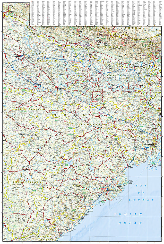
The National Geographic Adventure Map of India Northeast (3012) covers the Seven Sister States — Assam, Meghalaya, Nagaland, Manipur, Mizoram, Tripura, and Arunachal Pradesh — with accurate topography, road networks, national parks, and points of interest. Printed on waterproof, tear-resistant synthetic paper.
Key specs:
- SKU: NGAM3012
- Material: Waterproof, tear-resistant synthetic paper
- Folded size: 4.25" x 9.25"
- Open size: 26" x 38"
- Two-sided print with comprehensive place name index
Why it works:
Northeast India is one of the subcontinent's most biodiverse and culturally distinct regions, with Kaziranga National Park, the living root bridges of Meghalaya, and the tribal cultures of Nagaland all drawing increasing numbers of adventurous travelers. This map covers the region's road network and terrain for confident navigation in an area where connectivity is limited.
Ideal for: Wildlife enthusiasts, trekkers, cultural travelers, and adventure travelers exploring Northeast India's national parks, tribal regions, and biodiversity hotspots.
Share