National Geographic
Adventure Map: Vancouver Island
Adventure Map: Vancouver Island
Couldn't load pickup availability
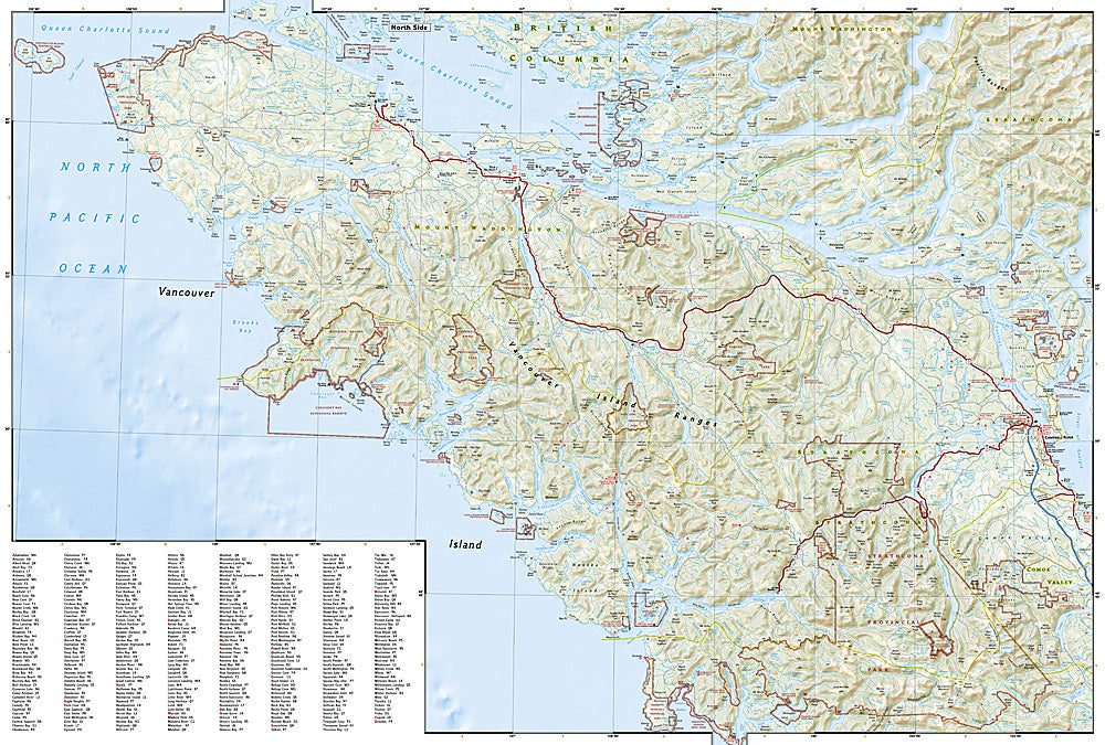
Waterproof, tear-resistant adventure map of Vancouver Island — topography, roads, trails, national parks, and coastal points of interest.
The National Geographic Adventure Map of Vancouver Island (3128) covers the full island from Victoria in the south to Cape Scott in the north, including Pacific Rim National Park, Strathcona Provincial Park, the West Coast Trail, and the island's extensive road and trail network. Printed on waterproof, tear-resistant synthetic paper.
Key specs:
- SKU: NGAM3128
- Material: Waterproof, tear-resistant synthetic paper
- Folded size: 4.25" x 9.25"
- Open size: 26" x 38"
- Two-sided print with comprehensive place name index
Why it works:
Vancouver Island is one of Canada's premier outdoor destinations — the West Coast Trail, Pacific Rim National Park, Strathcona's alpine terrain, and the island's wild west coast all reward travelers who can navigate beyond the main highway. This map covers the full island with the road and trail detail needed for hiking, kayaking, and road trips.
Ideal for: Hikers, kayakers, road trippers, and adventure travelers exploring Vancouver Island's national parks, West Coast Trail, and wilderness coastline.
Share