National Geographic
Adventure Map: Texas & Oklahoma
Adventure Map: Texas & Oklahoma
Couldn't load pickup availability
Waterproof, tear-resistant adventure map of Texas & Oklahoma — topography, roads, state parks, public lands, and points of interest.
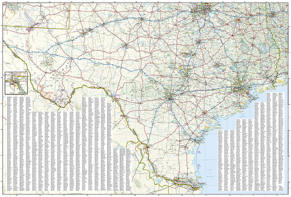
The National Geographic Adventure Map of Texas & Oklahoma (3123) covers both states with accurate topography, highway and backroad networks, state parks, national forests, wildlife management areas, and hundreds of points of interest. Printed on waterproof, tear-resistant synthetic paper.
Key specs:
- SKU: NGAM3123
- Material: Waterproof, tear-resistant synthetic paper
- Folded size: 4.25" x 9.25"
- Open size: 26" x 38"
- Two-sided print with comprehensive place name index
Why it works:
Texas and Oklahoma together cover an enormous swath of the South-Central US with diverse terrain — Gulf Coast, Hill Country, Panhandle plains, Ozark foothills, and Ouachita Mountains. This map covers both states with the road and public land detail needed for road trips, hunting, camping, and outdoor recreation across the region.
Ideal for: Road trippers, hunters, campers, and outdoor travelers exploring Texas and Oklahoma's state parks, national forests, and public lands.
Share