National Geographic
Adventure Map: Great Lakes
Adventure Map: Great Lakes
Couldn't load pickup availability
Waterproof, tear-resistant adventure map of the Great Lakes region — topography, roads, shorelines, national parks, and points of interest.
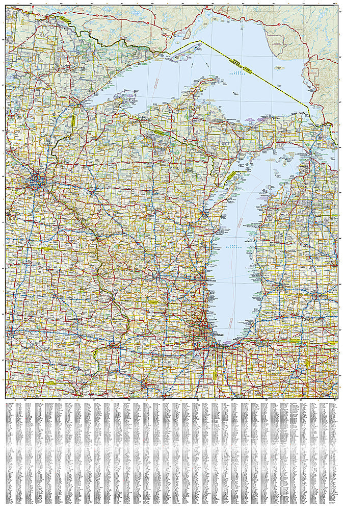
The National Geographic Adventure Map of the Great Lakes (3124) covers the five Great Lakes and surrounding states and provinces with accurate topography, road networks, national and state parks, shoreline access points, and points of interest. Printed on waterproof, tear-resistant synthetic paper.
Key specs:
- SKU: NGAM3124
- Material: Waterproof, tear-resistant synthetic paper
- Folded size: 4.25" x 9.25"
- Open size: 26" x 38"
- Two-sided print with comprehensive place name index
Why it works:
The Great Lakes region spans parts of eight US states and two Canadian provinces, with thousands of miles of freshwater shoreline, dune systems, national lakeshores, and scenic byways. This map covers the full region with the road and park detail needed for road trips, camping, fishing, and outdoor recreation around the world's largest freshwater system.
Ideal for: Road trippers, campers, anglers, and outdoor travelers exploring the Great Lakes shorelines, national lakeshores, and surrounding parks.
Share