National Geographic
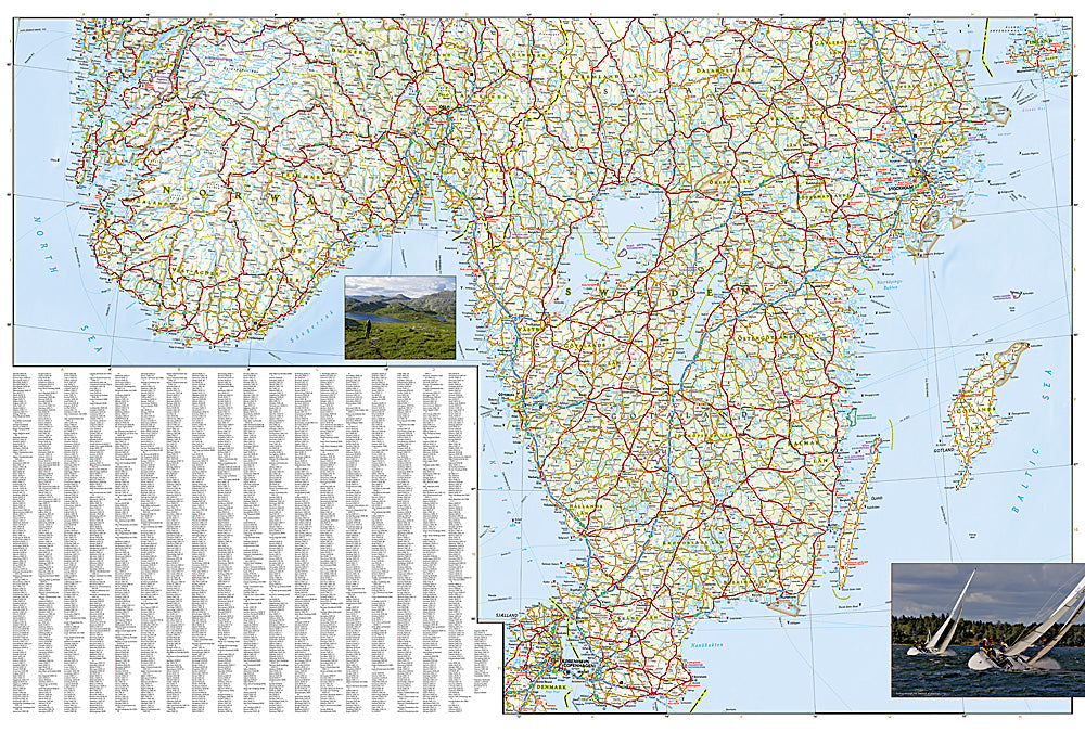
Adventure Map: Southern Sweden & Norway
Adventure Map: Southern Sweden & Norway
Couldn't load pickup availability
Waterproof, tear-resistant adventure map of Southern Sweden & Norway — topography, roads, trails, fjords, national parks, and points of interest.
The National Geographic Adventure Map of Southern Sweden & Norway (3301) covers southern Scandinavia including the Norwegian fjords, Jotunheimen, the Swedish west coast, and Skåne with accurate topography, road networks, national parks, hiking trails, and points of interest. Printed on waterproof, tear-resistant synthetic paper.
Key specs:
- SKU: NGAM3301
- Material: Waterproof, tear-resistant synthetic paper
- Folded size: 4.25" x 9.25"
- Open size: 26" x 38"
- Two-sided print with comprehensive place name index
Why it works:
Southern Scandinavia combines Norway's dramatic fjords and Jotunheimen mountains with Sweden's lakes, forests, and coastal archipelagos — one of Europe's premier outdoor destinations. This map covers both countries' southern regions with the road and trail detail needed for road trips, hiking, cycling, and kayaking across the region.
Ideal for: Road trippers, hikers, cyclists, kayakers, and adventure travelers exploring Southern Norway's fjords and Southern Sweden's coastlines and national parks.
Share