National Geographic
Adventure Map: Peru
Adventure Map: Peru
Couldn't load pickup availability
Waterproof, tear-resistant adventure map of Peru — topography, roads, trails, Inca Trail, Machu Picchu, Amazon, and national parks.
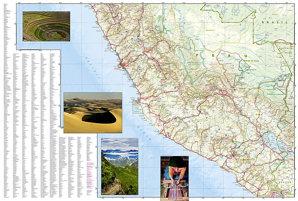
The National Geographic Adventure Map of Peru (3404) covers the country's three distinct regions — Pacific coast, Andean highlands with the Sacred Valley and Machu Picchu, and Amazon basin — with accurate topography, road networks, national parks, and points of interest. Printed on waterproof, tear-resistant synthetic paper.
Key specs:
- SKU: NGAM3404
- Material: Waterproof, tear-resistant synthetic paper
- Folded size: 4.25" x 9.25"
- Open size: 26" x 38"
- Two-sided print with comprehensive place name index
Why it works:
Peru's geography spans from the Pacific coast to the Andes to the Amazon — navigating between Lima, Cusco, the Sacred Valley, Lake Titicaca, and the Amazon basin requires accurate mapping of roads and terrain across dramatically different environments. Waterproof construction is essential in Peru's varied climate zones from coastal desert to Andean rain to Amazon humidity.
Ideal for: Trekkers on the Inca Trail and Salkantay, road trippers, and adventure travelers exploring Peru's Andes, Machu Picchu, Lake Titicaca, and Amazon regions.
Share