National Geographic
Adventure Map: Ecuador
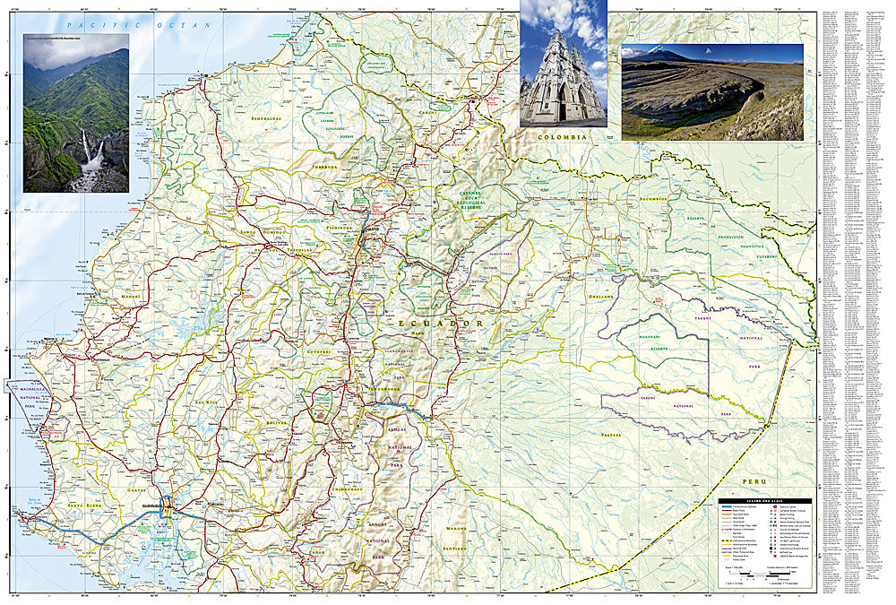
Adventure Map: Ecuador
Couldn't load pickup availability
Waterproof, tear-resistant adventure map of Ecuador — topography, roads, trails, Amazon, Andes, and Galapagos overview.
The National Geographic Adventure Map of Ecuador (3403) covers the country's three distinct regions — Pacific coast, Andean highlands with active volcanoes, and Amazon basin — with accurate topography, road networks, national parks, and points of interest. Printed on waterproof, tear-resistant synthetic paper.
Key specs:
- SKU: NGAM3403
- Material: Waterproof, tear-resistant synthetic paper
- Folded size: 4.25" x 9.25"
- Open size: 26" x 38"
- Two-sided print with comprehensive place name index
Why it works:
Ecuador is one of the most geographically diverse countries in South America — you can travel from Andean volcano summits to Amazon jungle to Pacific beaches within a single day. This map covers all three regions with the road and terrain detail needed for navigating between them and exploring each in depth.
Ideal for: Trekkers, road trippers, eco-travelers, and adventure travelers exploring Ecuador's Andes, Amazon, and Pacific coast.
Share