National Geographic
Adventure Map: Chile
Adventure Map: Chile
Couldn't load pickup availability
Waterproof, tear-resistant adventure map of Chile — topography, roads, trails, national parks, and points of interest.
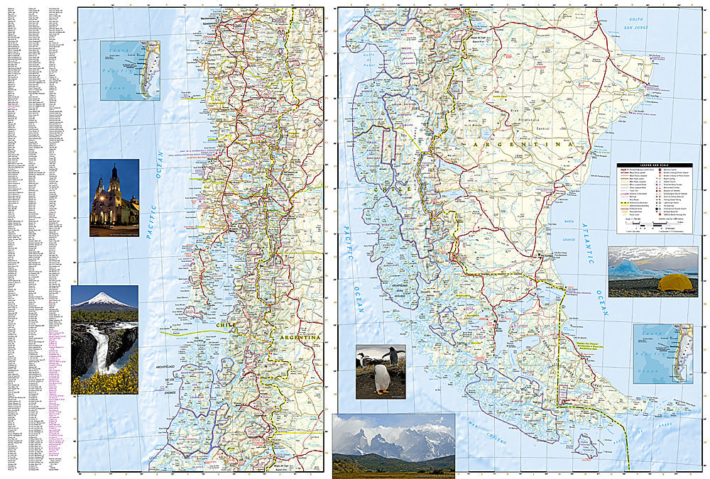
The National Geographic Adventure Map of Chile (3402) covers the country's extraordinary length — Atacama Desert in the north, Lake District and Patagonia in the south, and the Andes spine throughout — with accurate topography, road networks, national parks, and points of interest. Printed on waterproof, tear-resistant synthetic paper.
Key specs:
- SKU: NGAM3402
- Material: Waterproof, tear-resistant synthetic paper
- Folded size: 4.25" x 9.25"
- Open size: 26" x 38"
- Two-sided print with comprehensive place name index
Why it works:
Chile is one of the world's longest countries, stretching over 4,000 miles from the driest desert on Earth to sub-Antarctic Patagonia. Navigating the Carretera Austral, Torres del Paine, and the Atacama requires accurate mapping of roads, trails, and terrain across dramatically different environments — all on waterproof paper that survives the conditions.
Ideal for: Trekkers, road trippers, overlanders, and adventure travelers exploring Chile's Atacama, Lake District, Patagonia, and Carretera Austral.
Share