National Geographic
Adventure Map: Canada East
Adventure Map: Canada East
Couldn't load pickup availability
Waterproof, tear-resistant adventure map of Eastern Canada — topography, roads, national parks, and points of interest.
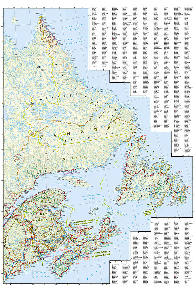
The National Geographic Adventure Map of Canada East (3115) covers Ontario, Quebec, the Maritime provinces, and Newfoundland with accurate topography, road networks, national and provincial parks, and hundreds of points of interest. Printed on waterproof, tear-resistant synthetic paper.
Key specs:
- SKU: NGAM3115
- Material: Waterproof, tear-resistant synthetic paper
- Folded size: 4.25" x 9.25"
- Open size: 26" x 38"
- Two-sided print with comprehensive place name index
Why it works:
Eastern Canada spans an enormous area from the Great Lakes to the Atlantic coast, with diverse terrain including the Canadian Shield, Appalachian highlands, St. Lawrence River valley, and Maritime coastlines. This map covers the full region with the road and park detail needed for road trips, camping, and outdoor adventure across Eastern Canada.
Ideal for: Road trippers, campers, hikers, and adventure travelers exploring Eastern Canada's national parks, coastlines, and wilderness areas.
Share