National Geographic
Adventure Map: Canada Central
Adventure Map: Canada Central
Couldn't load pickup availability
Waterproof, tear-resistant adventure map of Central Canada — topography, roads, national parks, lakes, and points of interest.
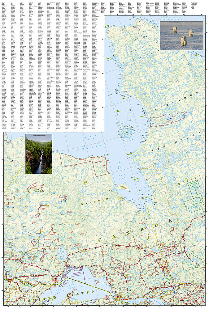
The National Geographic Adventure Map of Canada Central (3114) covers Manitoba and Saskatchewan with accurate topography, road networks, national and provincial parks, lakes, rivers, and points of interest. Printed on waterproof, tear-resistant synthetic paper.
Key specs:
- SKU: NGAM3114
- Material: Waterproof, tear-resistant synthetic paper
- Folded size: 4.25" x 9.25"
- Open size: 26" x 38"
- Two-sided print with comprehensive place name index
Why it works:
Central Canada's prairies, boreal forests, and Canadian Shield lakes offer exceptional fishing, hunting, camping, and wildlife viewing opportunities across a vast, sparsely populated region. This map covers the road network and public lands with the detail needed for planning and navigating trips through Manitoba and Saskatchewan.
Ideal for: Road trippers, anglers, hunters, campers, and adventure travelers exploring Central Canada's national parks, lakes, and wilderness areas.
Share