National Geographic
Salt River Canyon: Map #853
Salt River Canyon: Map #853
Couldn't load pickup availability
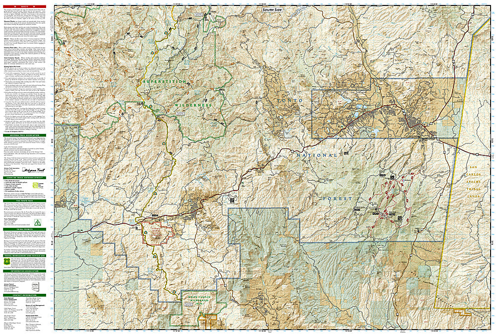
National Geographic Trails Illustrated Salt River Canyon Map #853 — waterproof, tear-resistant. Coverage of the Salt River Canyon Wilderness including whitewater rapids, river access, shuttle information, and surrounding Tonto National Forest in Arizona. GPS-compatible.
The National Geographic Trails Illustrated Salt River Canyon Map covers the Salt River Canyon — Arizona's premier whitewater river — and surrounding Tonto National Forest. Rapid locations, river access points, shuttle information, camping areas, and GPS coordinates are mapped in detail.
Key specs
- SKU: NGTI853
- Map number: 853
- Coverage: Salt River Canyon Wilderness, Tonto National Forest, Arizona
- Material: Waterproof, tear-resistant paper
- Features: Rapid locations, river access, shuttle info, camping areas, GPS coordinates
Why it works
The Salt River Canyon is one of the premier whitewater destinations in the Southwest, with Class III-IV rapids through a spectacular canyon that rivals the Grand Canyon in scenery — a dedicated river map with rapid locations, access points, and shuttle detail is essential for planning multi-day float trips. The canyon's remote character means accurate navigation is critical for safety. Waterproof construction is essential for river use where maps are constantly exposed to water.
Ideal for
Rafters, kayakers, and adventurers exploring the Salt River Canyon's whitewater in Arizona. See also NGTI850 (Mazatzal & Pine Mountain Wilderness) for adjacent Arizona wilderness coverage.
Share