National Geographic
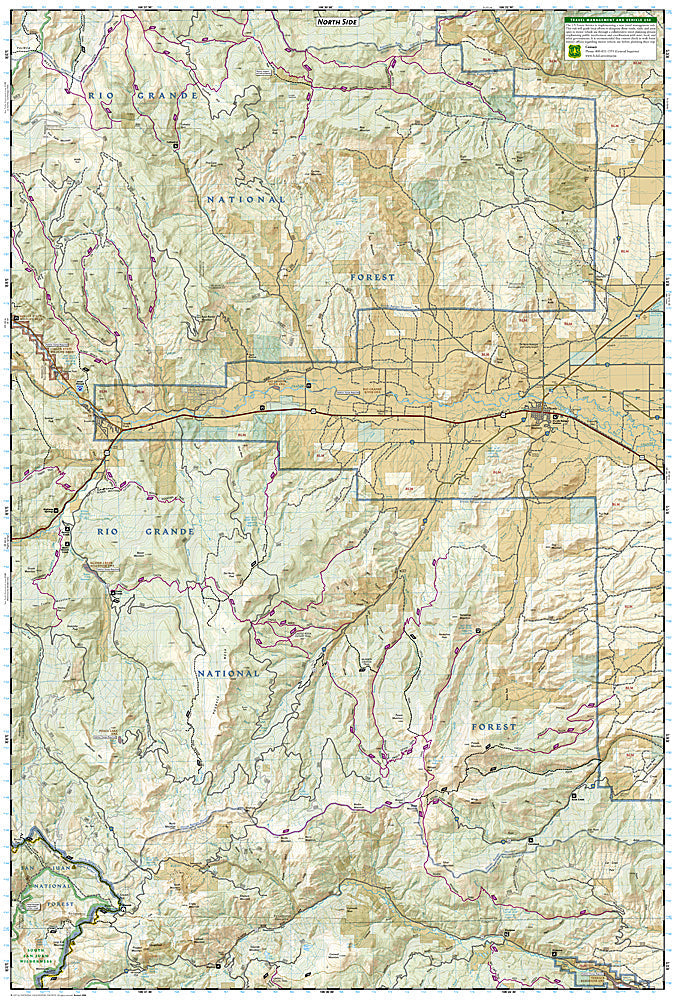
South San Juan, Del Norte: Map #142
South San Juan, Del Norte: Map #142
Couldn't load pickup availability
National Geographic Trails Illustrated South San Juan & Del Norte Map #142 — waterproof, tear-resistant, scale 1:63,360. Coverage of the South San Juan Wilderness, Continental Divide Trail, and surrounding San Juan National Forest near Del Norte, Colorado. GPS-compatible.
The National Geographic Trails Illustrated South San Juan & Del Norte Map covers the South San Juan Wilderness — one of Colorado's most remote and least-visited wilderness areas — along with the Continental Divide Trail corridor and surrounding San Juan National Forest near Del Norte. Trails, CDT route, alpine lakes, wilderness boundaries, trailheads, and GPS coordinates are mapped in detail.
Key specs
- SKU: NGTI142
- Map number: 142
- Scale: 1:63,360
- Coverage: South San Juan Wilderness & Del Norte area, Colorado
- Material: Waterproof, tear-resistant paper
- Features: Trails, CDT corridor, alpine lakes, wilderness boundaries, trailheads, GPS coordinates
Why it works
The South San Juan Wilderness is one of the most remote wilderness areas in Colorado, with rugged terrain, minimal trail maintenance, and the CDT passing through — accurate topographic mapping is essential for safe navigation in this trackless landscape. The area's reputation for grizzly bear sightings (historically) and its extreme remoteness make detailed mapping a safety necessity. Waterproof construction survives the San Juan Mountains' afternoon thunderstorms and the variable weather common in this high-altitude wilderness.
Ideal for
Experienced backpackers, CDT hikers, and wilderness lovers exploring the South San Juan Wilderness in Colorado. See also NGTI140 (Weminuche Wilderness) for adjacent coverage to the north.
Share