National Geographic
Eagle, Avon: Map #121
Eagle, Avon: Map #121
Couldn't load pickup availability
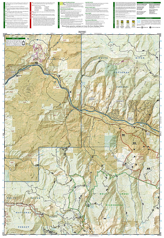
National Geographic Trails Illustrated Eagle & Avon Map #121 — waterproof, tear-resistant, scale 1:63,360. Coverage of the Eagle and Avon area including Beaver Creek, the Sawatch Range foothills, and surrounding White River National Forest west of Vail, Colorado. GPS-compatible.
The National Geographic Trails Illustrated Eagle & Avon Map covers the Eagle and Avon area west of Vail — Beaver Creek ski area, the Sawatch Range foothills, Sylvan Lake State Park, and surrounding White River National Forest. Hiking and mountain biking trails, ski terrain, public land boundaries, trailheads, and GPS coordinates are mapped in detail.
Key specs
- SKU: NGTI121
- Map number: 121
- Scale: 1:63,360
- Coverage: Eagle & Avon area, White River National Forest, Colorado
- Material: Waterproof, tear-resistant paper
- Features: Trails, Beaver Creek, Sylvan Lake State Park, mountain biking routes, ski terrain, GPS coordinates
Why it works
The Eagle and Avon area serves as the western gateway to the Vail Valley's recreation corridor, with Beaver Creek's ski and summer trail network and Sylvan Lake State Park providing significant recreation coverage beyond the more famous Vail terrain. The surrounding White River National Forest's trail network requires detailed mapping for visitors exploring beyond the resort areas. Waterproof construction survives the Vail Valley's afternoon thunderstorms and the variable weather common in the Colorado high country.
Ideal for
Hikers, mountain bikers, skiers, and outdoor enthusiasts exploring the Eagle and Avon area, Beaver Creek, and Sylvan Lake State Park west of Vail. See also NGTI108 (Vail, Frisco & Dillon) for adjacent coverage to the east.
Share