National Geographic
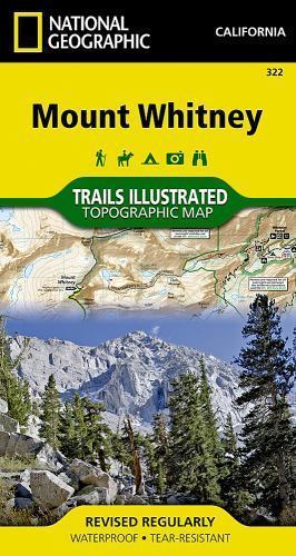
Mount Whitney: Map #322
Mount Whitney: Map #322
Couldn't load pickup availability
National Geographic Trails Illustrated topo map of Mount Whitney, California — waterproof, tear-resistant, GPS-compatible.
National Geographic Trails Illustrated Map 322 covers Mount Whitney and the surrounding Sierra Nevada high country in California. Detailed topographic contours, trails, campsites, wilderness boundaries, and points of interest printed on waterproof, tear-resistant paper. GPS-compatible with UTM grid lines.
Key specs:
- Map number: 322
- Publisher: National Geographic Trails Illustrated
- Region: Mount Whitney, California
- Material: Waterproof, tear-resistant paper
- GPS-compatible with UTM grid lines
- Coverage: Mount Whitney Trail, JMT approach, wilderness boundaries, campsites, and surrounding Sierra Nevada high country
- Condition: Brand new
Why it works:
Trails Illustrated maps are the standard reference for Sierra Nevada navigation — more detailed and recreation-focused than standard USGS quads, printed on waterproof paper that survives the conditions on a Whitney summit attempt. Essential for anyone hiking the Mount Whitney Trail, the JMT approach, or the surrounding high country.
Ideal for: Hikers and backpackers tackling Mount Whitney, the John Muir Trail approach, and the surrounding Sierra Nevada high country who need a durable, detailed trail map.
Share