National Geographic
Los Padres National Forest West: Map #813
Los Padres National Forest West: Map #813
Couldn't load pickup availability
National Geographic Trails Illustrated Los Padres National Forest West Map #813 — waterproof, tear-resistant. Coverage of the western Los Padres National Forest including the Ventana Wilderness, Big Sur coast, and surrounding coastal mountains in California. GPS-compatible.
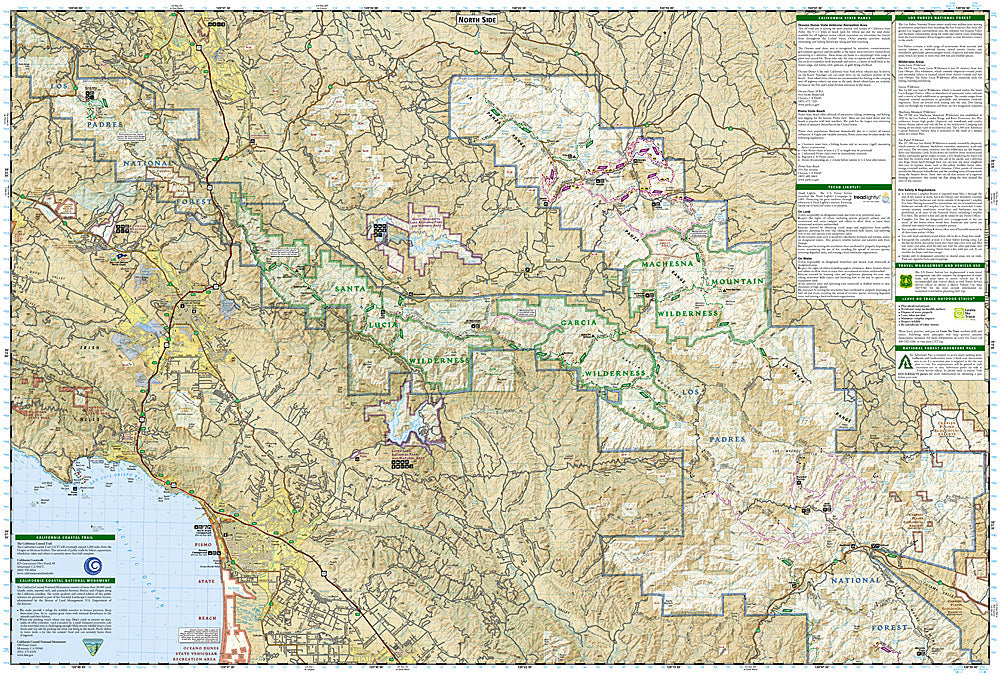
The National Geographic Trails Illustrated Los Padres National Forest West Map covers the western section of Los Padres National Forest — the Ventana Wilderness, Big Sur coast, Sykes Hot Springs, and surrounding coastal mountain terrain. Trails, wilderness boundaries, hot springs, campgrounds, trailheads, and GPS coordinates are mapped in detail.
Key specs
- SKU: NGTI813
- Map number: 813
- Coverage: Los Padres National Forest West (Ventana Wilderness & Big Sur), California
- Material: Waterproof, tear-resistant paper
- Features: Trails, Ventana Wilderness, Big Sur coast, Sykes Hot Springs, campgrounds, GPS coordinates
Why it works
The Ventana Wilderness and Big Sur coast offer some of the most dramatic hiking in California — the trail to Sykes Hot Springs is one of the most popular backcountry trips in the state, and the coastal mountain terrain requires detailed topographic mapping for safe navigation. The Big Sur coast's trail network connects redwood canyons, ridge-top views, and coastal access that requires a map covering both the inland wilderness and the coastal terrain. Waterproof construction survives the coastal fog and rain common along the Big Sur coast.
Ideal for
Backpackers, hikers, and outdoor enthusiasts exploring the Ventana Wilderness, Big Sur coast, and Sykes Hot Springs in the western Los Padres National Forest. See also NGTI812 (Los Padres NF East) and NGTIB299 (Los Padres Bundle) for complete forest coverage.
Share