National Geographic
Banff North: Map #901
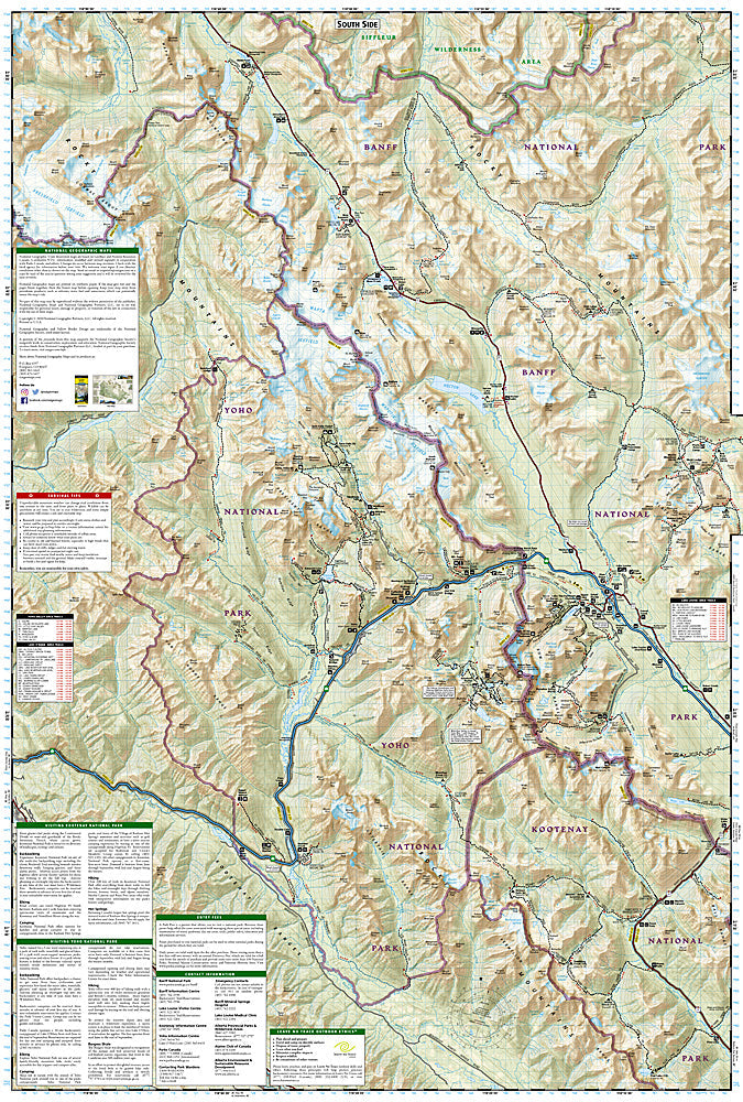
Banff North: Map #901
Couldn't load pickup availability
National Geographic Trails Illustrated Banff North Map #901 — waterproof, tear-resistant. Coverage of the northern section of Banff National Park including the Icefields Parkway, Columbia Icefield, and surrounding backcountry terrain in Alberta, Canada. GPS-compatible.
The National Geographic Trails Illustrated Banff North Map covers the northern section of Banff National Park — the Icefields Parkway (one of the world's most scenic drives), the Columbia Icefield, Bow Lake, Peyto Lake, and surrounding backcountry terrain. Trails, backcountry campsites, Icefields Parkway viewpoints, and GPS coordinates are mapped in detail.
Key specs
- SKU: NGTI901
- Map number: 901
- Coverage: Banff National Park North (Icefields Parkway area), Alberta, Canada
- Material: Waterproof, tear-resistant paper
- Features: Trails, Icefields Parkway, Columbia Icefield, Bow Lake, Peyto Lake, backcountry campsites, GPS coordinates
Why it works
The Icefields Parkway is one of the world's great scenic drives, but the surrounding backcountry hiking and the Columbia Icefield's glacier access require detailed topographic mapping beyond what a road map provides. The backcountry trail network connecting the parkway's viewpoints requires accurate campsite and trail junction detail for multi-day trips. Waterproof construction survives the Canadian Rockies' frequent rain and the glacier environment near the Columbia Icefield.
Ideal for
Hikers, backpackers, scenic drivers, and outdoor enthusiasts exploring the northern Banff National Park and Icefields Parkway in Alberta. See also NGTI215 (Glacier & Waterton Lakes) for adjacent coverage to the south in Montana.
Share