National Geographic
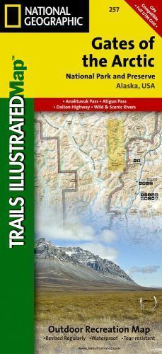
Gates of the Arctic National Park: Map #257
Gates of the Arctic National Park: Map #257
Couldn't load pickup availability
National Geographic Trails Illustrated topo map of Gates of the Arctic National Park, Alaska — waterproof, tear-resistant, GPS-compatible.
National Geographic Trails Illustrated Map 257 covers Gates of the Arctic National Park and Preserve in Alaska's Brooks Range — one of the most remote and roadless wilderness areas in the United States. Detailed topographic contours, rivers, lakes, wilderness boundaries, and points of interest printed on waterproof, tear-resistant paper. GPS-compatible with UTM grid lines.
Key specs:
- Map number: 257
- Publisher: National Geographic Trails Illustrated
- Region: Gates of the Arctic National Park and Preserve, Alaska
- Material: Waterproof, tear-resistant paper
- GPS-compatible with UTM grid lines
- Coverage: Brooks Range, rivers, lakes, wilderness boundaries, and remote access points
- Condition: Brand new
Why it works:
Gates of the Arctic has no roads, no trails, and no visitor infrastructure — navigation is entirely self-directed across one of the most demanding wilderness environments in North America. A detailed, waterproof topographic map is not optional here; it's essential safety equipment for anyone venturing into the Brooks Range.
Ideal for: Backpackers, hunters, anglers, and wilderness travelers venturing into Gates of the Arctic National Park who need a durable, detailed topographic map for remote navigation.
Share