National Geographic
Colorado 14ers North: Map #1302
Colorado 14ers North: Map #1302
Couldn't load pickup availability
National Geographic Trails Illustrated Colorado 14ers North Map #1302 — waterproof, tear-resistant. Coverage of the northern Colorado 14ers including the Front Range, Tenmile Range, Sawatch Range, and Elk Mountains peaks. GPS-compatible.
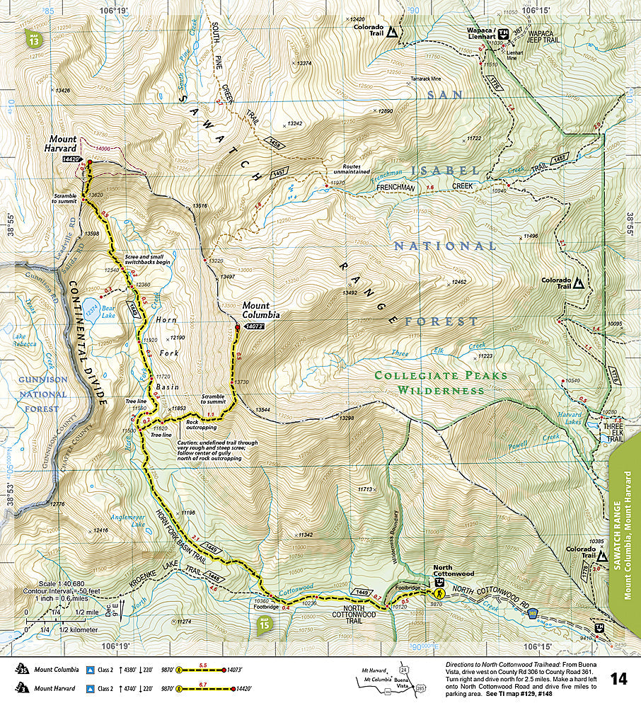
The National Geographic Trails Illustrated Colorado 14ers North Map covers the northern Colorado 14ers — the Front Range peaks (Longs Peak, Mount Evans, Pikes Peak), Tenmile Range (Quandary Peak), Sawatch Range (Mount Elbert, Mount Massive, Mount Harvard group), and Elk Mountains (Capitol Peak, Snowmass Mountain, Maroon Bells). Route overviews, trailheads, and GPS coordinates are mapped in detail.
Key specs
- SKU: NGTI1302
- Map number: 1302
- Coverage: Northern Colorado 14ers (Front Range, Tenmile, Sawatch, Elk Mountains)
- Material: Waterproof, tear-resistant paper
- Features: 14er route overviews, trailheads, approach roads, GPS coordinates
Why it works
Colorado's 14ers are spread across a large area of the state that requires multiple individual maps to cover at sufficient scale for navigation — a dedicated 14ers overview map provides route summaries and trailhead locations for all northern peaks in a single reference sheet, ideal for planning a 14er season or comparing routes across multiple peaks. Waterproof construction survives the afternoon thunderstorms that are a constant hazard on Colorado's exposed 14er ridgelines.
Ideal for
Peak baggers and mountaineers planning to climb the northern Colorado 14ers. See also NGTI1303 (Colorado 14ers South) for the southern peaks and individual area maps for detailed route navigation.
Share