National Geographic
Adventure Map: Switzerland
Adventure Map: Switzerland
Couldn't load pickup availability
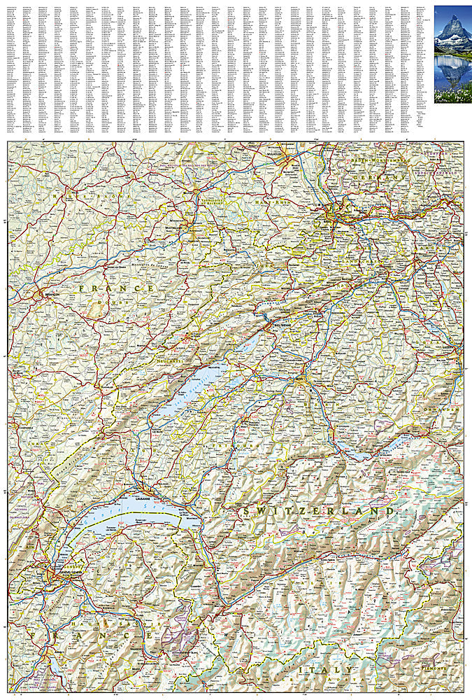
Waterproof, tear-resistant adventure map of Switzerland — topography, roads, trails, Alps, national parks, and points of interest.
The National Geographic Adventure Map of Switzerland (3320) covers the Swiss Alps, Jura Mountains, Mittelland plateau, and major lakes with accurate topography, road networks, hiking trails, and points of interest. The Bernese Oberland, Valais, Engadin, and Ticino are all covered. Printed on waterproof, tear-resistant synthetic paper.
Key specs:
- SKU: NGAM3320
- Material: Waterproof, tear-resistant synthetic paper
- Folded size: 4.25" x 9.25"
- Open size: 26" x 38"
- Two-sided print with comprehensive place name index
Why it works:
Switzerland has one of the world's most extensive and well-marked hiking trail networks, with over 65,000 km of marked paths across Alpine terrain. This map covers the full country with the road and trail detail needed for hiking, cycling, and road trips through the Swiss Alps — on waterproof paper that survives mountain weather.
Ideal for: Hikers, cyclists, road trippers, and adventure travelers exploring Switzerland's Alps, national parks, and scenic mountain regions.
Share