National Geographic
Adventure Map: Southern France
Adventure Map: Southern France
Couldn't load pickup availability
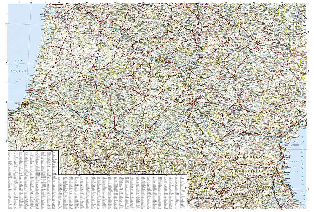
Waterproof, tear-resistant adventure map of Southern France — topography, roads, trails, national parks, Pyrenees, Provence, and points of interest.
The National Geographic Adventure Map of Southern France (3314) covers Provence, the Languedoc, Pyrenees, Massif Central, Côte d'Azur, and Dordogne with accurate topography, road networks, national parks, hiking trails, and points of interest. Printed on waterproof, tear-resistant synthetic paper.
Key specs:
- SKU: NGAM3314
- Material: Waterproof, tear-resistant synthetic paper
- Folded size: 4.25" x 9.25"
- Open size: 26" x 38"
- Two-sided print with comprehensive place name index
Why it works:
Southern France is one of Europe's most rewarding road trip regions — Provence's lavender fields and hill towns, the Pyrenees' hiking and ski terrain, the Dordogne's prehistoric caves, and the Côte d'Azur's coastal scenery all within reach. This map covers the full southern region with the road and terrain detail needed for navigating between these diverse destinations.
Ideal for: Road trippers, hikers, cyclists, and adventure travelers exploring Southern France's national parks, Pyrenees, Provence, and Mediterranean coast.
Share