National Geographic Trails Illustrated Manti-La Sal National Forest Map Bundle — waterproof, tear-resistant, detailed topography, hiking, biking, and OHV trails, climbing areas, and campgrounds. For explorers, climbers, and OHV riders in Utah and Colorado.
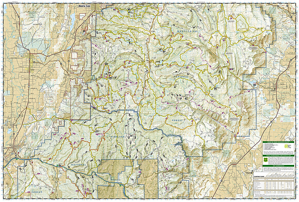
The National Geographic Manti-La Sal National Forest Map Bundle includes the Trails Illustrated maps covering the Manti-La Sal National Forest — the two non-contiguous divisions spanning the Wasatch Plateau in central Utah and the La Sal Mountains near Moab. Detailed topography, trail networks, OHV routes, climbing areas, and campgrounds on waterproof, tear-resistant paper.
Key specs
SKU: NGTIB302
Coverage: Manti-La Sal National Forest (Wasatch Plateau, UT + La Sal Mountains near Moab, UT/CO)
The Manti-La Sal National Forest's two divisions — the Wasatch Plateau and the La Sal Mountains — are geographically separate and require different maps for complete coverage. The La Sal Mountains rise dramatically above the Moab desert, offering alpine terrain that contrasts sharply with the surrounding canyon country and attracts climbers and hikers seeking elevation. Waterproof construction survives the temperature extremes between the desert floor and the alpine summits common in this region.
Ideal for
Hikers, climbers, OHV riders, and explorers visiting the Manti-La Sal National Forest's alpine terrain and canyon country in Utah. See also NGTIB010 (Moab East & West Bundle) for adjacent Moab area coverage.