National Geographic
Adventure Map: Greece
Adventure Map: Greece
Couldn't load pickup availability
Waterproof, tear-resistant adventure map of Greece — topography, roads, trails, national parks, islands, and points of interest.
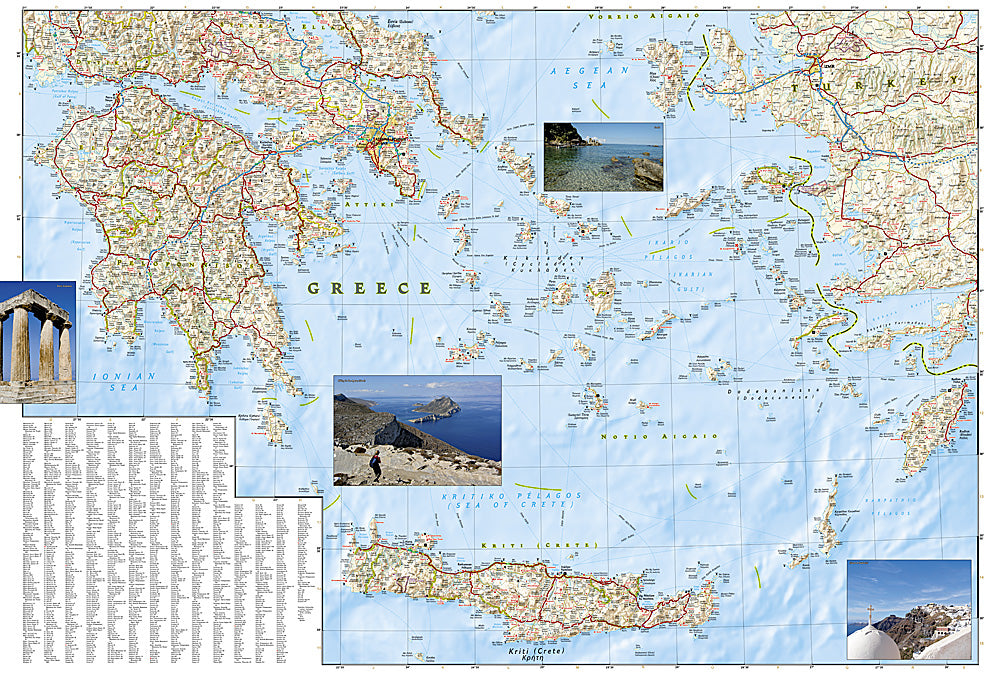
The National Geographic Adventure Map of Greece (3316) covers mainland Greece and the major island groups — Cyclades, Dodecanese, Ionian Islands, and Crete — with accurate topography, road networks, ferry routes, national parks, and points of interest. Printed on waterproof, tear-resistant synthetic paper.
Key specs:
- SKU: NGAM3316
- Material: Waterproof, tear-resistant synthetic paper
- Folded size: 4.25" x 9.25"
- Open size: 26" x 38"
- Two-sided print with comprehensive place name index
Why it works:
Greece's geography is complex — a mountainous mainland with the Pindus range and Mount Olympus, plus hundreds of islands spread across three seas. Navigating between Athens, the Peloponnese, and the island groups requires accurate mapping of roads, ferry routes, and terrain. This map covers the full country with the detail needed for road trips, hiking, and island hopping.
Ideal for: Road trippers, hikers, island hoppers, and adventure travelers exploring Greece's mainland mountains, ancient sites, and Aegean islands.
Share