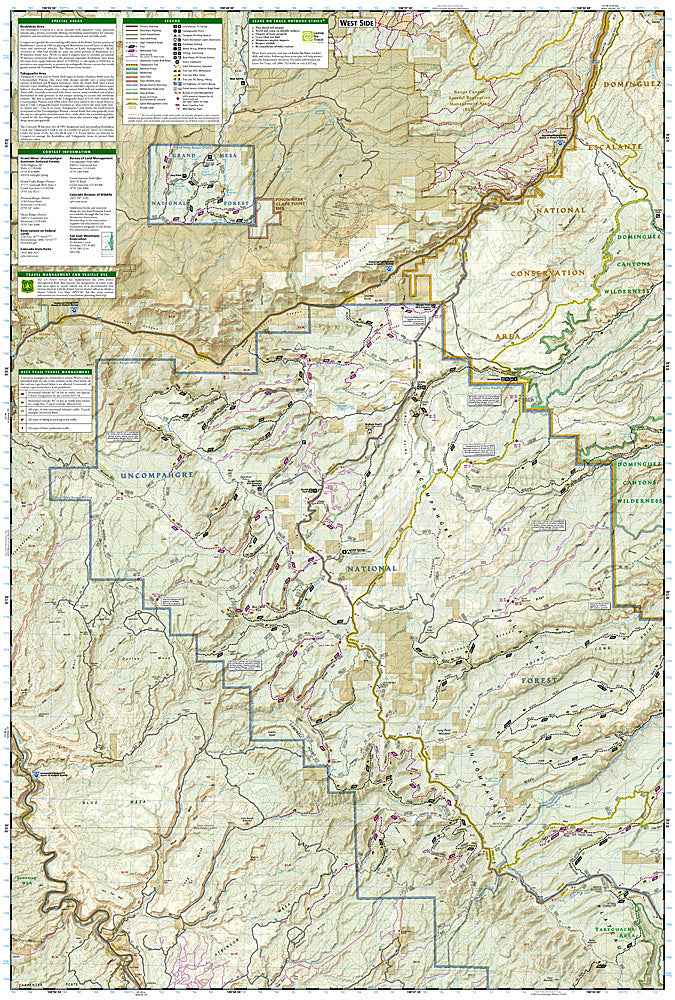
National Geographic Trails Illustrated Uncompahgre Plateau GMU Map Bundle — waterproof, tear-resistant, detailed topography, GMU boundaries, roads, trails, water sources, and public/private land status. For hunters, scouts, and off-roaders in western Colorado.
The National Geographic Uncompahgre Plateau GMU Map Bundle includes the Trails Illustrated maps covering the Uncompahgre Plateau Game Management Units in western Colorado — one of Colorado's most productive elk and deer hunting areas. Detailed topography, GMU boundaries, roads, trails, water sources, and public/private land status on waterproof, tear-resistant paper.
Key specs
SKU: NGTIB221
Coverage: Uncompahgre Plateau GMUs, western Colorado
Material: Waterproof, tear-resistant paper
Features: Detailed topography, GMU boundaries, roads, trails, water sources, public/private land status
Format: Multi-map bundle
Why it works
The Uncompahgre Plateau spans multiple GMUs across a large area of western Colorado's mesa country — a bundle covering the full plateau ensures complete coverage for hunters scouting and hunting across unit boundaries. The public/private land status overlay is essential for hunters navigating the complex land ownership patterns on the plateau. Waterproof construction survives Colorado's high-country weather during hunting season, from early-season heat to late-season snow.
Ideal for
Hunters, scouts, and off-roaders exploring the Uncompahgre Plateau GMUs in western Colorado. See also NGTIB220 (Flat Tops Wilderness GMU Bundle) for additional Colorado GMU coverage.