National Geographic
Montreal City Destination Map
Montreal City Destination Map
Couldn't load pickup availability
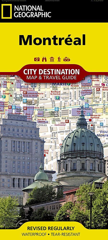
National Geographic City Destination Map of Montreal — waterproof, tear-resistant, detailed street maps with Metro stations, Old Montreal and downtown insets, visitor information, and key landmarks. Folded 4" x 8.75".
The National Geographic Montreal City Destination Map covers the city's street network with Metro stations clearly marked, insets of Old Montreal and downtown, and visitor information throughout. The cobblestone streets of Vieux-Montréal, Mount Royal, the Plateau, and major cultural landmarks are detailed.
Key specs
- SKU: NGDC022
- Coverage: Montreal city and surrounding area
- Folded size: 4" x 8.75"
- Material: Waterproof, tear-resistant synthetic paper
Why it works
Montreal's bilingual street signage, underground city network, and mix of historic and modern neighborhoods make navigation more complex than a typical North American city. The Old Montreal inset provides the street-level detail needed for navigating the historic district's narrow cobblestone streets, while the Metro overlay makes transit navigation straightforward. Waterproof construction handles Montreal's variable weather from summer humidity to spring rain.
Ideal for
Urban explorers, culture seekers, and tourists visiting Montreal's historic districts, arts scene, and neighborhoods. See also NGAM3115 (Canada East Adventure Map) for broader eastern Canada coverage.
Share