National Geographic
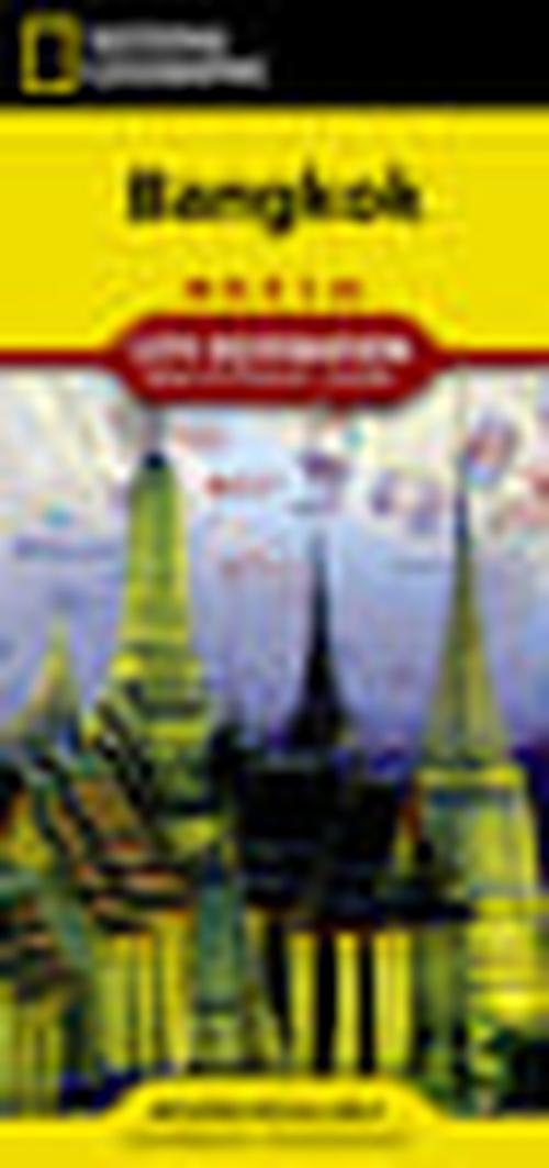
Bangkok City Destination Map
Bangkok City Destination Map
Couldn't load pickup availability
National Geographic City Destination Map of Bangkok — waterproof, tear-resistant, detailed city street maps, BTS Skytrain and MRT Metro lines, key cultural sites and temples, and points of interest. Folded 4" x 8.75".
The National Geographic Bangkok City Destination Map covers the city's street network with BTS Skytrain and MRT Metro lines clearly marked, key temples, palaces, markets, and cultural sites pinpointed, and points of interest throughout. Designed for navigating Bangkok's complex street layout and transit system.
Key specs
- SKU: NGDC028
- Coverage: Bangkok city and surrounding area
- Folded size: 4" x 8.75"
- Material: Waterproof, tear-resistant synthetic paper
Why it works
Bangkok's street network is one of the most complex in Southeast Asia — a mix of major roads, narrow sois (side streets), canals, and elevated transit lines that are nearly impossible to navigate without a detailed map. The BTS and MRT overlay makes it easy to combine transit with walking to reach temples, markets, and neighborhoods efficiently. Waterproof construction survives Bangkok's intense monsoon rain and the humidity that destroys standard paper maps quickly.
Ideal for
Tourists, cultural travelers, and first-time visitors navigating Bangkok's temples, markets, and transit system. See also NGAM3006 (Thailand Adventure Map) for broader country coverage and NGAM015 (Thailand & Bangkok bundle) for both in one purchase.
Share