National Geographic
Canadian Rockies Destination Touring Map & Guide
Canadian Rockies Destination Touring Map & Guide
Couldn't load pickup availability
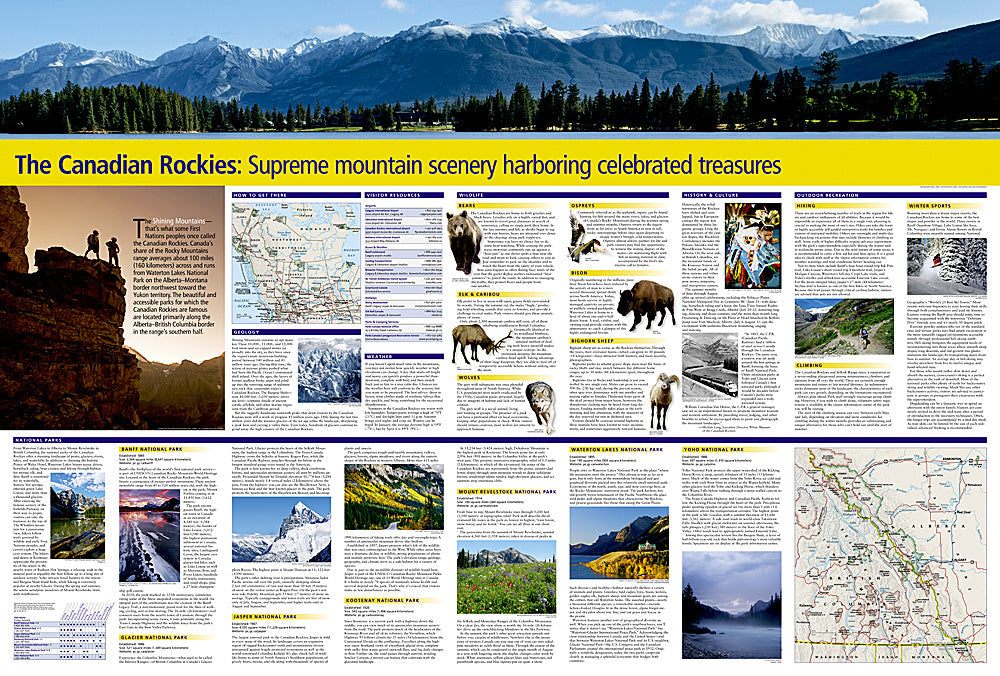
National Geographic Canadian Rockies Destination Touring Map & Guide — waterproof, tear-resistant, detailed topography of Banff, Jasper, and surrounding national parks, hiking trails, viewpoints, and campgrounds. Folded 4" x 8.75".
The National Geographic Canadian Rockies Destination Touring Map covers Banff, Jasper, Yoho, and Kootenay National Parks with detailed topography, hiking trails, scenic viewpoints, campgrounds, and lodges. Designed for road trips, hiking, and exploring the Canadian Rockies' iconic mountain parks.
Key specs
- SKU: NGDM006
- Coverage: Canadian Rockies (Banff, Jasper, and surrounding national parks)
- Folded size: 4" x 8.75"
- Material: Waterproof, tear-resistant synthetic paper
Why it works
The Canadian Rockies span multiple national parks along the Icefields Parkway corridor — a single regional map covering Banff, Jasper, and the connecting routes with trail and viewpoint detail is essential for planning multi-day trips through the parks. The topographic detail helps visitors understand the terrain and elevation changes between destinations. Waterproof construction survives the rain and snow common in the Rockies year-round.
Ideal for
National park visitors, hikers, campers, and scenic drivers exploring Banff, Jasper, and the Canadian Rockies. See also NGAM3113 (Canada West Adventure Map) for broader western Canada coverage.
Share