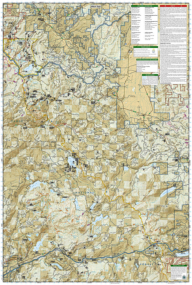
National Geographic Trails Illustrated Tahoe National Forest Map Bundle — waterproof, tear-resistant, detailed topography, trails, roads, campgrounds, and wilderness and recreation areas north and west of Lake Tahoe. For hikers, campers, and outdoor enthusiasts in the northern Sierra Nevada.
The National Geographic Tahoe National Forest Map Bundle includes the Trails Illustrated maps covering the Tahoe National Forest — the vast public lands north and west of Lake Tahoe including the Granite Chief Wilderness, American River canyon country, and surrounding forest lands. Detailed topography, trail networks, roads, campgrounds, and wilderness boundaries on waterproof, tear-resistant paper.
Key specs
- SKU: NGTIB241
- Coverage: Tahoe National Forest, California (north and west of Lake Tahoe)
- Material: Waterproof, tear-resistant paper
- Features: Detailed topography, trails, roads, campgrounds, wilderness areas, recreation sites
- Format: Multi-map bundle
Why it works
The Tahoe National Forest covers a large area of the northern Sierra Nevada that's often overlooked in favor of the lake itself — a bundle covering the full forest ensures complete coverage for hikers, campers, and OHV riders exploring the public lands beyond the Tahoe Basin. The American River canyon country and Granite Chief Wilderness offer excellent backcountry opportunities that require detailed topographic mapping. Waterproof construction survives the Sierra Nevada's afternoon thunderstorms and the heavy snowpack that lingers into early summer.
Ideal for
Hikers, campers, anglers, and OHV riders exploring the Tahoe National Forest's wilderness areas and public lands north and west of Lake Tahoe. See also NGTIB301 (Eldorado National Forest Bundle) for adjacent coverage south of the American River.