National Geographic
Adventure Map: The Alps
Adventure Map: The Alps
Couldn't load pickup availability
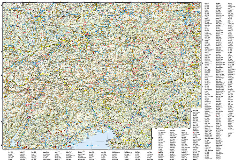
National Geographic Adventure Map of The Alps — waterproof, tear-resistant, detailed topography, roads, trails, and mountain passes across France, Switzerland, Austria, Italy, and Germany. For hiking, skiing, cycling, and road trips.
The National Geographic Adventure Map 3321 covers the full Alpine arc across France, Switzerland, Austria, Italy, and Germany with detailed topography of the major massifs, passes, and valleys. Roads, trails, ski areas, national parks, and cultural landmarks on waterproof, tear-resistant paper built for mountain field use.
Key specs:
- SKU: NGAM3321
- Map number: 3321
- Coverage: The Alps (France, Switzerland, Austria, Italy, Germany)
- Material: Waterproof, tear-resistant paper
- Features: Detailed topography, roads, trails, mountain passes, ski areas, national parks
Why it works:
The Alps span five countries with complex terrain, border crossings, and a dense network of hiking trails, mountain passes, and ski areas. A single map covering the full Alpine arc with accurate topography is essential for planning multi-country mountain trips. Waterproof construction survives the rain, snow, and condensation common at altitude.
Ideal for: Hikers, skiers, cyclists, and road trippers exploring the Alps across France, Switzerland, Austria, and Italy. See also NGAM3320 (Switzerland), NGAM3319 (Austria), NGAM3304 (Italy), and NGAM3314 (Southern France) for country-specific coverage.
Share