National Geographic
Adventure Map: South Africa
Adventure Map: South Africa
Couldn't load pickup availability
Waterproof, tear-resistant adventure map of South Africa — topography, roads, trails, national parks, Drakensberg, Garden Route, and points of interest.
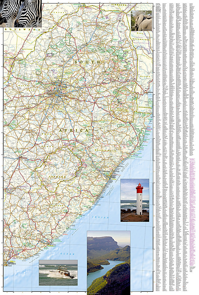
The National Geographic Adventure Map of South Africa (3204) covers the country including Kruger National Park, the Drakensberg, Garden Route, Cape Peninsula, Kalahari, and the full road network with accurate topography and points of interest. Printed on waterproof, tear-resistant synthetic paper.
Key specs:
- SKU: NGAM3204
- Material: Waterproof, tear-resistant synthetic paper
- Folded size: 4.25" x 9.25"
- Open size: 26" x 38"
- Two-sided print with comprehensive place name index
Why it works:
South Africa is one of Africa's premier self-drive destinations — the Garden Route, Kruger National Park, Drakensberg, and Cape Peninsula are all accessible by road. Navigating between Cape Town, the Winelands, the Garden Route, and Kruger requires accurate mapping of roads and terrain across a large country with diverse landscapes. Waterproof construction survives the varied weather conditions across South Africa's different climate zones.
Ideal for: Self-drive safari travelers, road trippers, hikers, and adventure travelers exploring South Africa's national parks, Garden Route, Drakensberg, and Cape Peninsula.
Share