National Geographic
Adventure Map: Slovakia
Adventure Map: Slovakia
Couldn't load pickup availability
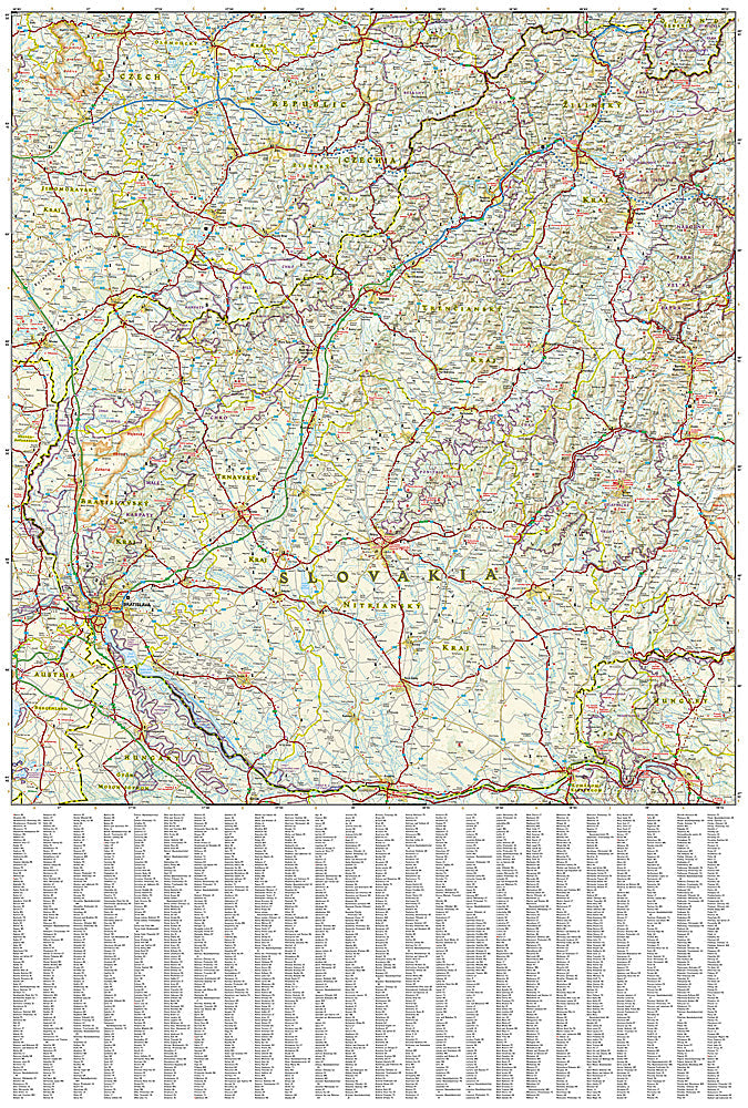
Waterproof, tear-resistant adventure map of Slovakia — topography, roads, trails, High Tatras, national parks, and points of interest.
The National Geographic Adventure Map of Slovakia (3323) covers the country's High Tatras, Low Tatras, Slovak Paradise, and historic towns with accurate topography, road networks, hiking trails, and points of interest. Printed on waterproof, tear-resistant synthetic paper.
Key specs:
- SKU: NGAM3323
- Material: Waterproof, tear-resistant synthetic paper
- Folded size: 4.25" x 9.25"
- Open size: 26" x 38"
- Two-sided print with comprehensive place name index
Why it works:
Slovakia is one of Central Europe's most underrated outdoor destinations — the High Tatras offer serious alpine hiking and skiing, Slovak Paradise has dramatic gorge trails with ladders and chains, and the country's medieval castles and historic towns reward road trippers. This map covers the full country with the road and trail detail needed for hiking, driving, and exploring Slovakia's diverse terrain.
Ideal for: Hikers, road trippers, and adventure travelers exploring Slovakia's High Tatras, Slovak Paradise, and historic towns.
Share