National Geographic
Adventure Map: Java
Adventure Map: Java
Couldn't load pickup availability
Waterproof, tear-resistant adventure map of Java — topography, roads, trails, volcanoes, national parks, Borobudur, and points of interest.
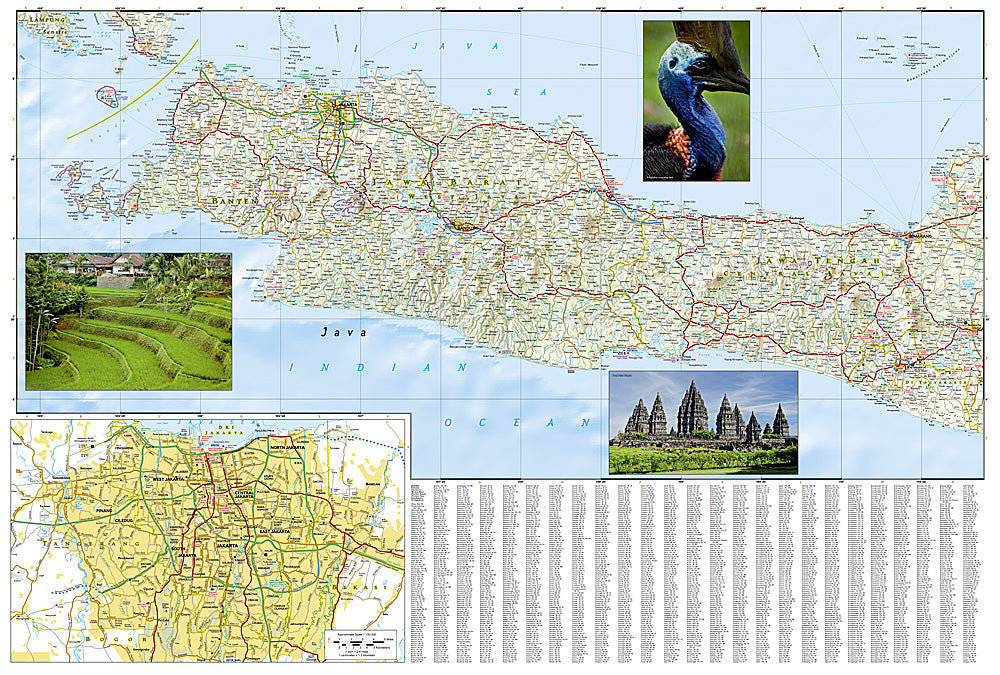
The National Geographic Adventure Map of Java (3020) covers Indonesia's most populous island including Borobudur, Prambanan, Mount Bromo, Ijen Crater, Ujung Kulon National Park, and the full road network with accurate topography and points of interest. Printed on waterproof, tear-resistant synthetic paper built for tropical conditions.
Key specs:
- SKU: NGAM3020
- Material: Waterproof, tear-resistant synthetic paper
- Folded size: 4.25" x 9.25"
- Open size: 26" x 38"
- Two-sided print with comprehensive place name index
Why it works:
Java is one of the world's most densely populated islands with extraordinary cultural and natural diversity — the world's largest Buddhist temple at Borobudur, active volcanoes including Bromo and Merapi, and the Ijen Crater's blue fire phenomenon. Navigating between Jakarta, Yogyakarta, and East Java's volcanic landscapes requires accurate mapping of roads and terrain. Waterproof construction survives Java's tropical humidity and monsoon rain.
Ideal for: Road trippers, hikers, and adventure travelers exploring Java's volcanoes, Buddhist temples, national parks, and cultural sites.
Share