National Geographic
Adventure Map: France & Corsica
Adventure Map: France & Corsica
Couldn't load pickup availability
Waterproof, tear-resistant adventure map of France & Corsica — topography, roads, trails, national parks, Alps, Pyrenees, and points of interest.
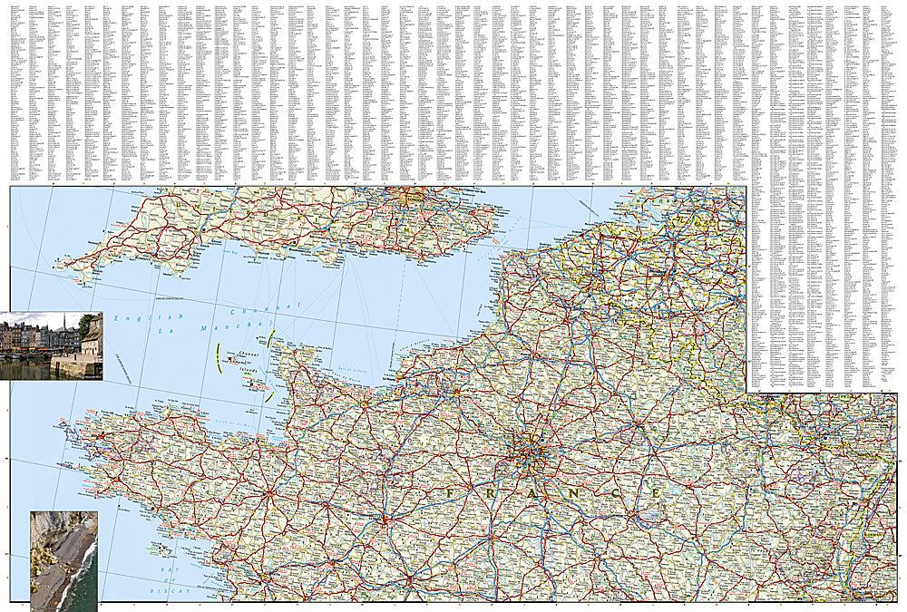
The National Geographic Adventure Map of France & Corsica (3313) covers mainland France and the island of Corsica with accurate topography, road networks, national parks, the Alps, Pyrenees, Massif Central, and points of interest. The GR20 on Corsica and major French long-distance trails are included. Printed on waterproof, tear-resistant synthetic paper.
Key specs:
- SKU: NGAM3313
- Material: Waterproof, tear-resistant synthetic paper
- Folded size: 4.25" x 9.25"
- Open size: 26" x 38"
- Two-sided print with comprehensive place name index
Why it works:
France is one of the world's most visited countries with extraordinary geographic diversity — the French Alps, Pyrenees, Brittany coast, Loire Valley, Provence, and Corsica's rugged interior all reward travelers who can navigate beyond the main tourist routes. This map covers the full country plus Corsica with the road and terrain detail needed for road trips, hiking, and outdoor adventure.
Ideal for: Road trippers, hikers, cyclists, and adventure travelers exploring France's national parks, Alps, Pyrenees, and Corsica's GR20 trail.
Share