USDA Forest Service
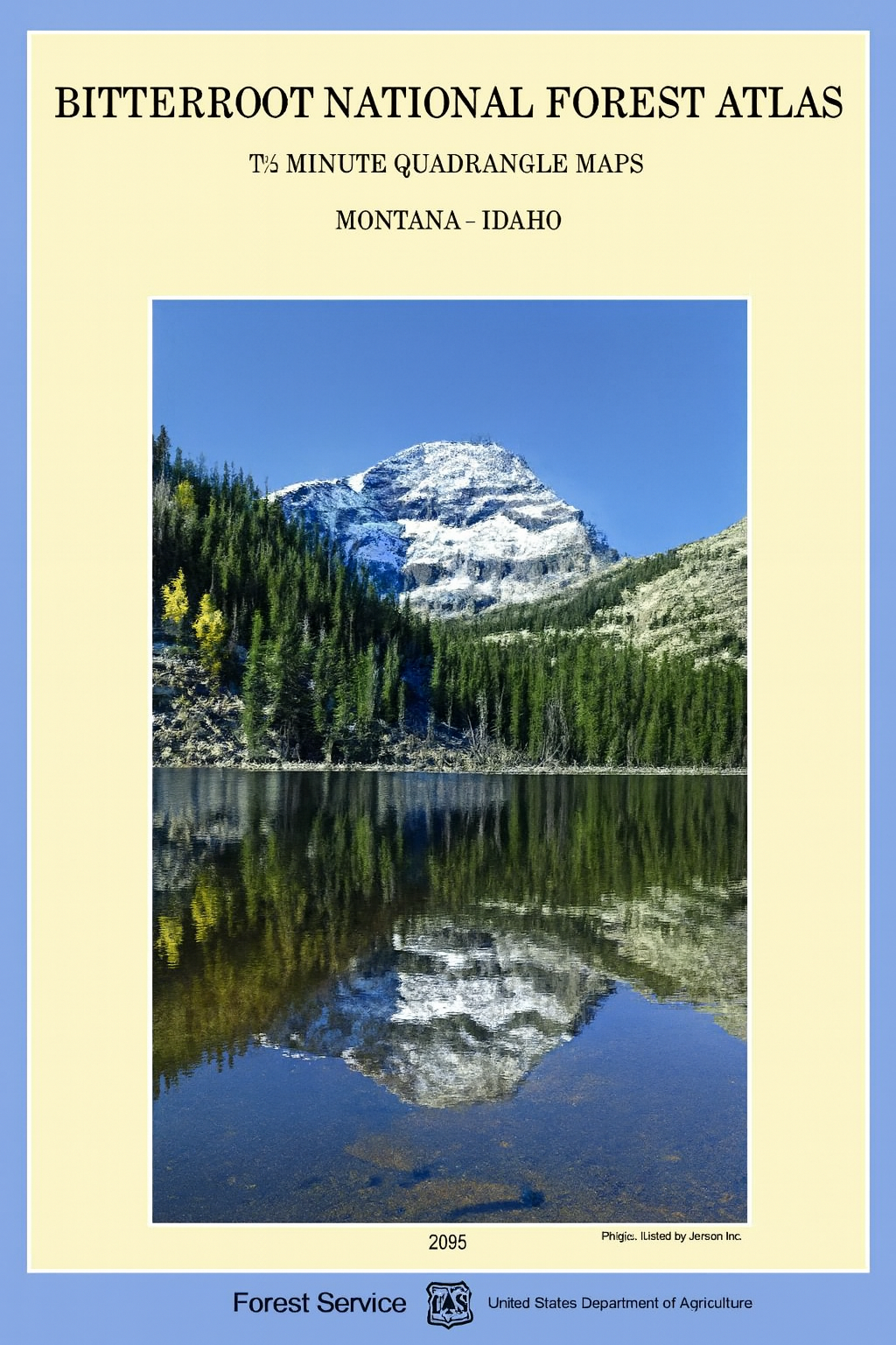
Montana Atlas: Bitterroot National Forest
Montana Atlas: Bitterroot National Forest
Couldn't load pickup availability
Official topographic atlas of Bitterroot National Forest, Montana — Selway-Bitterroot Wilderness and the Montana/Idaho border backcountry.
The Bitterroot National Forest Atlas provides authoritative topographic detail of one of Montana's premier wilderness regions. Contour lines, elevations, shaded relief, trails, forest roads, campgrounds, rivers, and wilderness boundaries across the Bitterroot Valley and the Selway-Bitterroot Wilderness.
Key specs:
- Format: Bound atlas / topographic map
- Region: Bitterroot National Forest, Montana
- Coverage: Selway-Bitterroot Wilderness, Bitterroot Valley, Montana/Idaho border backcountry, trails, campgrounds, rivers, and forest access roads
- Condition: Brand new
Why it works:
The Bitterroot is one of Montana's most remote and rugged national forests — the Selway-Bitterroot Wilderness alone covers over 1.3 million acres of roadless terrain. A detailed topographic atlas is essential for safe navigation whether you're hunting elk, backpacking, or fishing the Bitterroot River and its tributaries.
Ideal for: Hunters, hikers, backpackers, anglers, and campers exploring Bitterroot National Forest and the Selway-Bitterroot Wilderness who need authoritative topographic detail.
Share