National Geographic
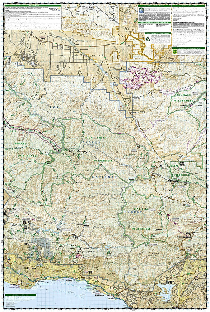
Los Padres National Forest East: Map #812
Los Padres National Forest East: Map #812
Couldn't load pickup availability
National Geographic Trails Illustrated Los Padres National Forest East Map #812 — waterproof, tear-resistant. Coverage of the eastern portion of Los Padres National Forest including wilderness areas, river corridors, hiking and OHV trails, and campgrounds in California. GPS-compatible.
The National Geographic Trails Illustrated Los Padres National Forest East Map covers the eastern section of Los Padres National Forest in California — the Sespe Wilderness, Chumash Wilderness, and surrounding forest lands inland from the coast. Trails, OHV routes, forest roads, campgrounds, fishing access, and GPS coordinates are mapped in detail.
Key specs
- SKU: NGTI812
- Map number: 812
- Coverage: Los Padres National Forest East, California
- Material: Waterproof, tear-resistant paper
- Features: Trails, OHV routes, wilderness areas, campgrounds, fishing access, GPS coordinates
Why it works
The eastern Los Padres encompasses the Sespe Wilderness — the largest wilderness area in Southern California — along with the Sespe Condor Sanctuary and a network of trails and OHV routes that require detailed mapping to navigate. The forest's inland location means it sees far less traffic than the Big Sur coast, making accurate trail and road detail essential for visitors exploring less-traveled areas. Waterproof construction survives the heat and occasional rain common in Southern California's inland ranges.
Ideal for
Hikers, backpackers, OHV riders, and anglers exploring the eastern Los Padres National Forest and Sespe Wilderness in California. See also NGTI813 (Los Padres National Forest West) for coastal coverage and NGTIB299 (Los Padres Bundle) for the complete forest.
Share