Delorme
Delorme Atlas & Gazetteer: Maryland & Delaware
Delorme Atlas & Gazetteer: Maryland & Delaware
Couldn't load pickup availability
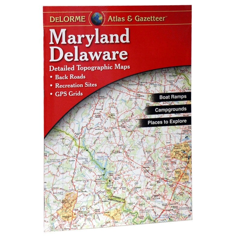
DeLorme Maryland & Delaware Atlas & Gazetteer — full-color topographic maps covering all of Maryland and Delaware, GPS-ready grid, gazetteer, inset city maps. Field-ready paperback format.
The DeLorme Maryland & Delaware Atlas & Gazetteer covers both states with full-color topographic maps at a scale detailed enough for back road navigation, trail planning, hunting, and outdoor recreation. The GPS-ready grid lets you cross-reference coordinates directly on the map. The gazetteer indexes roads, trails, parks, boat launches, campgrounds, and points of interest across both states. Inset city maps cover major urban areas. Field-ready large-format paperback.
Key specs:
- SKU: DEL-MD
- Coverage: Maryland and Delaware
- Format: Large-format paperback (15.5" x 11")
- Features: Full-color topographic maps, GPS-ready grid, gazetteer, inset city maps
- Publisher: DeLorme
Why it works:
DeLorme atlases are the standard reference for back road and outdoor navigation — the topographic detail and scale are more useful for hunting, fishing, and trail planning than standard road atlases. Maryland and Delaware's mix of Chesapeake Bay waterways, Eastern Shore marshes, and Appalachian terrain makes a detailed paper map especially valuable for waterfowl hunters, anglers, and paddlers navigating complex water systems.
Ideal for: Hunters, anglers, waterfowl hunters, paddlers, hikers, and back road explorers in Maryland and Delaware who want a detailed paper map reference for planning and field use.
Share