Delorme
Delorme Connecticut CT / RI Atlas
Delorme Connecticut CT / RI Atlas
Couldn't load pickup availability
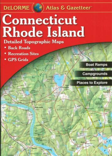
DeLorme Connecticut & Rhode Island Atlas & Gazetteer — 60 pages of full-color topographic maps, GPS-ready grid, inset city maps, gazetteer. 15.5" x 11" paperback. 2023 edition. ISBN 1946494720.
The DeLorme Connecticut & Rhode Island Atlas & Gazetteer covers both states with 60 pages of full-color topographic maps at a scale detailed enough for back road navigation, trail planning, and outdoor recreation. The GPS-ready grid lets you cross-reference coordinates directly on the map. Inset city maps cover major urban areas. The gazetteer section indexes roads, trails, parks, boat launches, campgrounds, and points of interest. Field-ready 15.5" x 11" paperback format.
Key specs:
- SKU: DEL-CT
- Coverage: Connecticut and Rhode Island
- Pages: 60 full-color topographic map pages
- Format: 15.5" x 11" paperback
- Edition: 2023
- ISBN: 1946494720
- Features: GPS-ready grid, gazetteer, inset city maps
Why it works:
DeLorme atlases are the standard reference for back road and outdoor navigation in the Northeast — the topographic detail and scale are more useful for trail and off-road planning than standard road atlases. The GPS-ready grid allows you to plot coordinates from a GPS unit directly on the paper map, giving you a reliable backup when batteries die or signal is lost. The gazetteer indexes the specific outdoor resources — boat launches, campgrounds, trails — that outdoor users actually need to find.
Ideal for: Hunters, hikers, anglers, paddlers, and back road explorers in Connecticut and Rhode Island who want a detailed paper map reference for planning and field use.
Share