National Geographic
Colorado 14ers: Map Guide Bundle
Colorado 14ers: Map Guide Bundle
Couldn't load pickup availability
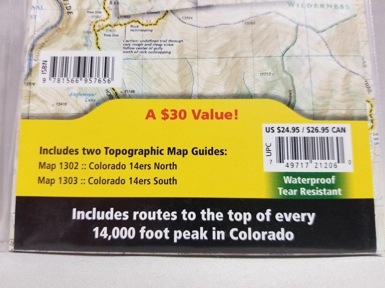
National Geographic Colorado 14ers Map Guide Bundle — waterproof, tear-resistant Trails Illustrated maps covering Colorado's 14,000-foot peaks with route descriptions, trailheads, and topographic detail. For peak baggers, climbers, and hikers.
The National Geographic Colorado 14ers Map Guide Bundle includes the Trails Illustrated maps covering Colorado's 58 fourteeners — the 14,000-foot summits spread across the Front Range, Sawatch, Elk, San Juan, and Sangre de Cristo ranges. Route descriptions, trailheads, approach roads, and detailed topography on waterproof, tear-resistant paper.
Key specs
- SKU: NGTMG064
- Coverage: Colorado 14ers (all major ranges)
- Material: Waterproof, tear-resistant paper
- Features: Route descriptions, trailheads, approach roads, detailed topography
- Format: Multi-map bundle
Why it works
Colorado's 14ers are spread across multiple mountain ranges requiring different maps for complete coverage — a bundle providing all the relevant Trails Illustrated maps in one purchase eliminates the need to identify and order individual maps separately. The route and trailhead detail goes well beyond what a standard topo map provides, which is essential for safely navigating approach routes and summit ridges. Waterproof construction survives the afternoon thunderstorms that are a constant hazard on Colorado's high peaks.
Ideal for
Peak baggers, climbers, and hikers working through Colorado's 14ers. See also NGTI1302 (Colorado 14ers North) for individual map coverage of the northern peaks.
Share