National Geographic
Collegiate Peaks & Eagles Nest GMU: Map Pack Bundle
Collegiate Peaks & Eagles Nest GMU: Map Pack Bundle
Couldn't load pickup availability
National Geographic Trails Illustrated Collegiate Peaks & Eagles Nest GMU Map Pack Bundle — waterproof, tear-resistant, detailed topography, GMU boundaries, hiking trails, and wilderness areas. For hunters, hikers, and backcountry scouts in central Colorado.
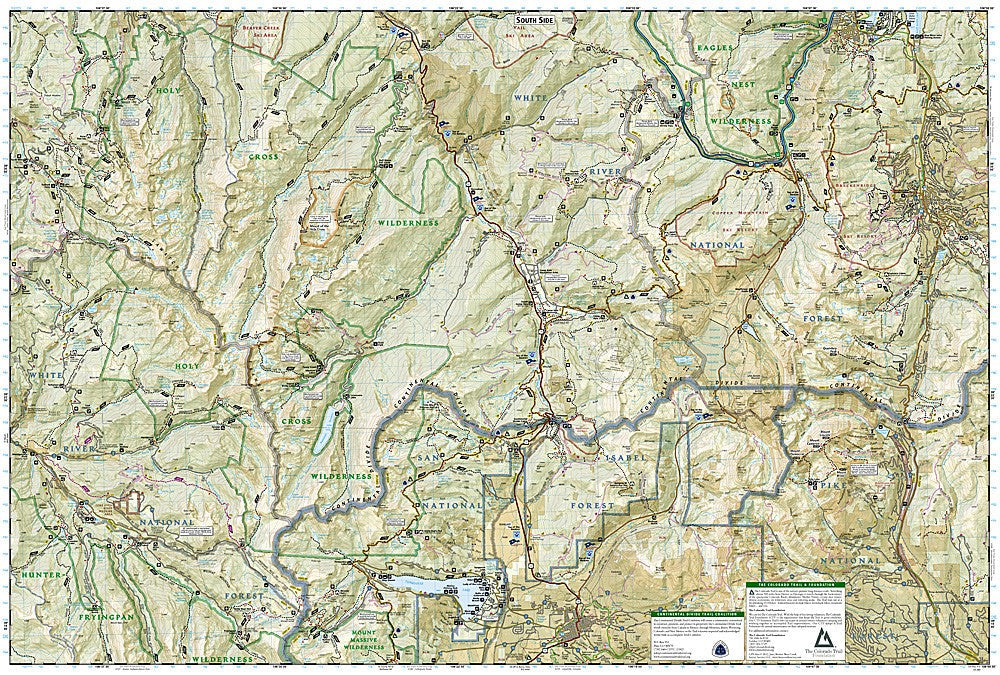
The National Geographic Collegiate Peaks & Eagles Nest GMU Map Pack Bundle includes the Trails Illustrated maps covering the Collegiate Peaks Wilderness and Eagles Nest Wilderness Game Management Units in central Colorado. Detailed topography, GMU boundaries, hiking trails, wilderness areas, and access roads on waterproof, tear-resistant paper.
Key specs
- SKU: NGTIB222
- Coverage: Collegiate Peaks Wilderness and Eagles Nest Wilderness GMUs, Colorado
- Material: Waterproof, tear-resistant paper
- Features: Detailed topography, GMU boundaries, hiking trails, wilderness areas, access roads
- Format: Multi-map bundle
Why it works
The Collegiate Peaks and Eagles Nest GMUs cover two of Colorado's most popular elk and deer hunting units, spanning a large area of the central Sawatch and Gore ranges that requires multiple maps for complete coverage. The GMU boundary detail overlaid on accurate topography is essential for hunters who need to know exactly where they are relative to unit boundaries and wilderness regulations. Waterproof construction survives the rain, snow, and early-season weather common in Colorado's high country during hunting season.
Ideal for
Hunters, hikers, and backcountry scouts exploring the Collegiate Peaks and Eagles Nest Wilderness areas in central Colorado. See also NGTI148 (Collegiate Peaks Wilderness) for individual map coverage.
Share