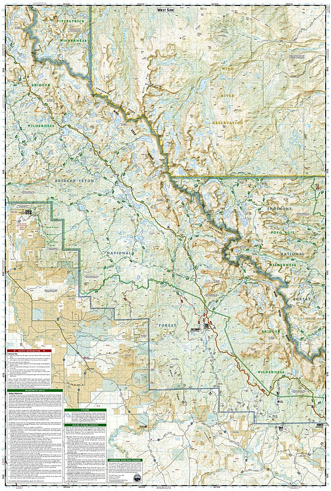
National Geographic Trails Illustrated Wind River Range Map Bundle — waterproof, tear-resistant, detailed topography, trails, trailheads, campgrounds, and wilderness boundaries. For hikers, backpackers, and climbers in Wyoming.
The National Geographic Wind River Range Map Bundle includes the Trails Illustrated maps covering the Wind River Range — one of the most remote and spectacular wilderness areas in the lower 48, spanning over 100 miles through the Wyoming Rockies. Detailed topography, trail networks, trailheads, campgrounds, lakes, and wilderness boundaries on waterproof, tear-resistant paper.
Key specs
- SKU: NGTIB306
- Coverage: Wind River Range, Wyoming
- Material: Waterproof, tear-resistant paper
- Features: Detailed topography, trails, trailheads, campgrounds, lakes, wilderness boundaries
- Format: Multi-map bundle
Why it works
The Wind River Range's vast corridor requires multiple maps for complete coverage of the northern, central, and southern sections — each with different trailheads, access routes, and backcountry camping options. A bundle covering the full range ensures you have the detail needed for planning multi-day backpacking trips, peak ascents, and fishing excursions throughout the wilderness. Waterproof construction handles the unpredictable mountain weather the Wind Rivers are known for.
Ideal for
Backpackers, hikers, climbers, and anglers exploring the Wind River Range and the surrounding Wyoming wilderness.